

























































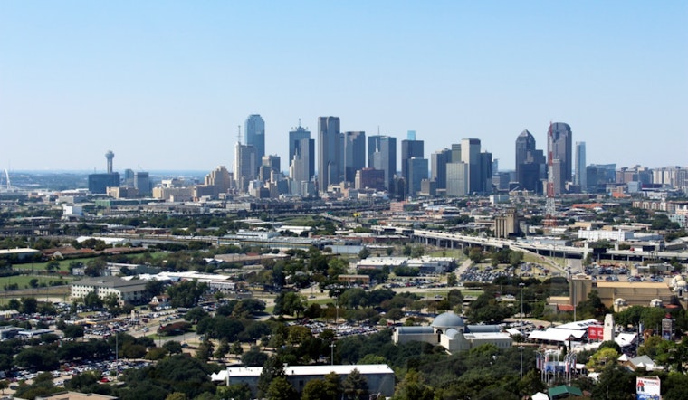
Dallas Love Field was sitting around 84°F under clear skies earlier today, but the easy morning will give way to a high near 104°F by afternoon. The heat index could reach around 110°F, making the first half of the weekend a serious test for anyone spending time outside.
Friday Heat Peaks Late Afternoon
Temperatures will climb through the 90s by late morning and reach the low 100s during the afternoon, with south-southwest winds around 10 mph. The National Weather Service Fort Worth has a Heat Advisory in effect until 8 p.m. today for dangerous heat-index values across the region.
The safest move is to shift strenuous errands and workouts to early morning or evening, drink plenty of fluids, and use air conditioning or another cool indoor space during peak heat. Children, older adults, people working outdoors, and pets need extra attention, and no one should be left in a parked vehicle.
A Weak Front Could Stir Up Saturday Storms
A weak cold front is expected to move south through North Texas late tonight and tomorrow, bringing a wind shift and a small chance of isolated showers or thunderstorms. Most of Dallas should stay dry, but any storm that forms could deliver frequent lightning, sudden wind shifts, and a strong localized downburst.
Tomorrow will still be hot, with a high near 100°F, though north winds and lower humidity should make it feel less oppressive than Friday. The forecast calls for mostly sunny skies, with gusts up to 20 mph and only a low chance of rain.
Sunday Offers Brief Relief Before Heat Returns
Sunday looks like the best break in the forecast: sunny and near 98°F, with a low around 77°F overnight. Drier air should make the improvement more noticeable than the temperature alone suggests.
That relief is temporary. Highs are expected to return to around 100°F next Monday, 102°F next Tuesday, and about 101°F next Wednesday and Thursday, while humidity gradually builds back in and could push heat indexes into the triple digits again.




