

























































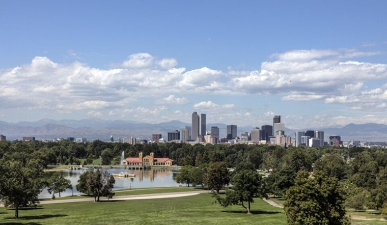
Thursday, July 23 - Denver is waking up to partly cloudy skies and temperatures in the upper 60s (about 68°F), but the calm start is not expected to last. The National Weather Service is flagging a good chance of afternoon showers and thunderstorms, with some storms capable of heavy downpours and brief, gusty winds that could trigger localized flash flooding.
Afternoon Storm Window
The most active window for showers and thunderstorms runs from shortly after noon into the early evening on Thursday, July 23. The National Weather Service pegs the Denver metro's chance of precipitation at around 60%, with a high forecast near 88–89°F before storms cool things back into the mid 80s.
New rainfall totals are generally expected between a tenth and a quarter of an inch. Stronger cells could squeeze out more rain in a short burst, leading to sudden ponding on streets. Outflow gusts of 30–40 mph remain on the table with the more robust storms, according to the latest guidance from the National Weather Service.
Flooding, Driving And Event Impacts
Those heavier downpours could quickly cut visibility and create standing water on roads. Drivers are urged to avoid flooded stretches, slow down during the heaviest rain, and build in extra time for the afternoon commute or any outdoor plans.
Air travel and outdoor events might also feel the effects. Brief but intense rain and gusty outflow winds can contribute to ground delays, impact outdoor performances or games, and in some cases cause short power outages.
Hot Weekend On Tap
Storms should ease overnight, and temperatures are set to rebound in a hurry. Friday, July 24 is forecast to climb into the mid 90s, with highs near 99°F on both Saturday and Sunday (July 25–26).
The city is preparing for the blast of heat by opening cooling center space for Friday and Saturday. A compiled list of locations and hours is available via Denver7.
If you or someone you care for does not have reliable indoor cooling, health officials recommend shifting strenuous outdoor work to the morning, staying hydrated, and spending the hottest part of the afternoon in a rec center or library when possible. Keep weather alerts turned on and consider moving outdoor gatherings earlier in the day to dodge the worst of the heat.
Why We're Updating
Two weeks after our July 9 coverage, the forecast has sharpened. Lingering monsoonal moisture is keeping storms capable of heavy rain, and recent gust reports near the airport highlight the risk of disruptive outflow winds once storms fire.
For additional background on this pattern and the buildup to this stretch, revisit our Mile High meltdown forecast, as per Hoodline.





