

























































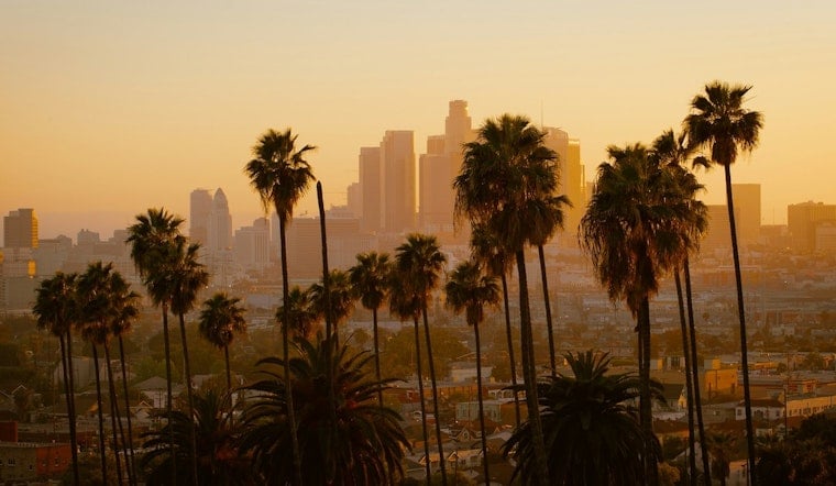
Downtown Los Angeles rolled into Tuesday, July 21, feeling more like a sticky coastal morning than a summer heat wave, with muggy, mostly cloudy skies, patchy fog and temperatures hovering near 71°F. That calm, gray start is not sticking around for long, as a multi-day heat event is set to build through midweek, with the hottest stretch expected on Thursday.
Heat Advisory This Week
The National Weather Service has issued a Heat Advisory beginning at 10 AM on Wednesday, July 22, running straight through 8 PM on Monday, July 27. Inland highs are forecast to climb into the low 90s, and forecasters warn of an elevated risk of heat illness for sensitive groups. On top of that, an Extreme Heat Watch is posted for several interior zones as the pattern hangs on.
Afternoons Climb, Mornings Foggy
For now, afternoons stay mostly sunny, with highs near 88°F on Tuesday and Wednesday before nudging into the low 90s by Thursday. Along the coast, expect that familiar mix of patchy morning fog and low clouds, which should clear by midmorning. Overnight, though, there will be little relief, with lows stuck in the upper 60s as humidity remains above normal.
What This Means For Your Plans
If your schedule is flexible, slide outdoor plans to early morning or later in the evening and try to skip strenuous activity during the hottest hours of the day. Check in on older neighbors, children and anyone living without air conditioning, and make staying hydrated a top priority if you have to be outside.
Cooling Options And Tips
The City of Los Angeles Emergency Management notes that city-run cooling centers and many public libraries are open to the public during heat events, offering immediate air-conditioned relief. If you are riding it out at home, keep blinds closed during the day, use fans or AC if you have them, and keep water within easy reach.
Beaches And Marine Notes
The coastline is not off the hook either. Forecasters have high surf flagged through tonight, along with multiple southerly swells later this week that could make south-facing beaches and harbors hazardous. Follow posted warnings, give rip currents a wide berth, and stay away from exposed shorelines when the largest swells roll through.
Bottom Line
Downtown is expected to feel the first real punch of heat on Wednesday, July 22, with the warmest stretch hanging on through Monday, July 27. Keep plans loose, lean on city cooling resources if you need them, and do your best to avoid the afternoon peak when the heat is at its worst.




