

























































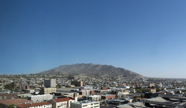
El Paso started Saturday, July 11, with clear skies and mid-70s at sunrise, the kind of morning that tricks you into thinking summer might behave. It will not. Forecasters expect a high near 101°F this afternoon with a heat index in the upper 90s. East winds are set to strengthen later in the day, and isolated thunderstorms, mainly over nearby mountains with a few lowland strays, could kick up sudden gusts or quick-hitting downpours.
Afternoon Heat And Gusty East Winds
Temperatures are on track for the low triple digits, with east winds around 1 to 12 mph and gusts near 20 mph. Minimum afternoon relative humidity is expected to drop into the mid-to-upper teens, a dry combo that can make outdoor work miserable and stir up blowing dust or move embers. Forecasters recommend limiting strenuous activity during peak heating hours, according to the National Weather Service.
What Locals Should Do
For anyone needing a break from the heat, the City of El Paso has opened cooling centers across town and is offering fan assistance, with details available by calling 2-1-1 for locations and eligibility, per the City of El Paso. Residents are urged to check the city’s emergency-preparedness page for the latest hours and addresses, and to shift outdoor plans to the cooler morning or evening hours whenever possible. See how similar conditions played out in our earlier Hoodline coverage on how storms and mountain gusts crash Sunday plans for added local context.
Thunderstorms And Flooding Risk Into Next Week
Scattered storms over the mountains and isolated storms in the lowlands are possible this afternoon and evening, with gusty outflow winds and blowing dust as the main short-term concerns. Thunderstorm coverage is expected to increase Monday into Tuesday as moisture moves in from the Gulf, which could bring brief heavy downpours and localized flooding in stronger storms, according to the National Weather Service.
Short-Term Outlook
Sunday should ease up slightly, with highs near 96°F. By Monday and Tuesday, highs are forecast to drop into the upper 80s and low 90s as shower and thunderstorm chances climb. Overnight lows will stay warm in the 70s. No watches or warnings were in effect at the time of publication, but conditions can change quickly, so residents should keep an eye on updated local forecasts.




