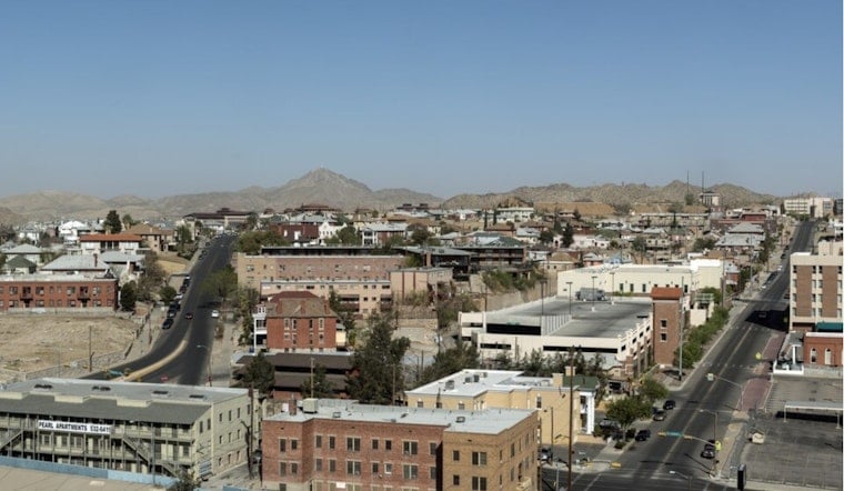
El Paso is starting mostly clear and around 81°F by mid-morning Sunday, July 5, with temperatures set to climb toward a summer high near 100°F this afternoon. As the heat builds, there is roughly a 40% chance of showers and thunderstorms after 2 p.m., especially over the Sacramento Mountains and into the eastern lowlands. Most areas should pick up less than a tenth of an inch of rain, though any stronger storm could still drop brief heavy downpours.
Afternoon Storms And Gusty Winds
Thunderstorms this afternoon and evening could throw out strong outflow winds, with gusts of 40 to 50 mph possible near the Organ and Franklin Mountains. While most rain totals are expected to stay on the lighter side, mountain storms may become more numerous Monday and Tuesday and could lead to localized flooding near burn scars and steep terrain. Highs are forecast to land around 99 to 100°F early in the week, rising into the low 103°F range by Thursday, according to the National Weather Service.
Heat Safety And City Cooling Centers
The City of El Paso has activated cooling centers and is offering fan assistance; main public sites include the Main Library (501 N. Oregon) and Valle Bajo Recreation Center (7380 Alameda). Residents who need help can call 2‑1‑1 for fan or cooling-center information and 3‑1‑1 for after‑hours shelter referrals, per the City of El Paso.
If you are headed outside this afternoon, bring plenty of water, be ready for sudden gusts, and secure loose items that could blow around. Brief downpours can quickly cut visibility and make roads slick, so drivers should slow down in heavy rain and avoid standing water; when in doubt, turn around and do not drive through flooded stretches.


