

























































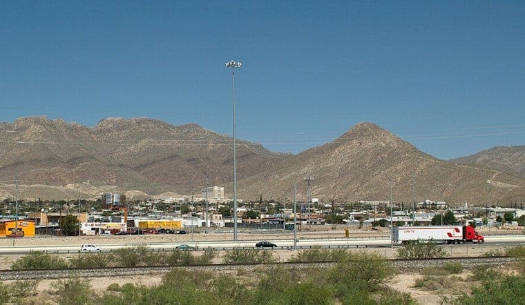
El Paso is heating up fast on Monday, July 6, with clear skies and temperatures expected to climb to around 99°F by late afternoon. Most of the Borderland stays dry, but there is a slight chance of showers or thunderstorms late in the day. A few storms could bubble up over the mountains and drift into the lowlands by evening, so if you are planning to be outside, aim for early morning or later evening, and do not forget water.
Afternoon Storms And Gusty Outflows
Isolated showers and thunderstorms are possible after 4 p.m. Monday, July 6, with activity sliding into lower elevations later in the evening. The main troublemaker will be gusty outflow winds, with 35-45 mph gusts possible over the Lordsburg Playa late tonight, along with a risk of blowing dust and reduced visibility, according to the National Weather Service El Paso. Drivers should slow down in heavy rain or dust, and it is a good idea to secure loose outdoor items before storms roll through.
Heat Stacks Up Midweek
By Wednesday, July 8, 2026, high pressure and drier air push lowland temperatures solidly back into the triple digits. Forecasters expect highs around 100-105°F through Friday, with about 102°F on Wednesday and near 104°F on Thursday in many neighborhoods. That makes the midday stretch the hottest and most hazardous, so limit strenuous outdoor work, check on older relatives and pets, and shift activities to the cooler morning or evening hours whenever you can.
Where To Cool Off
The City has opened cooling centers across El Paso, including the Main Library at 501 N. Oregon St. and the Valle Bajo Community Center at 7380 Alameda Ave., and is offering fan assistance for qualifying residents. Call 2-1-1 for fan requests and 3-1-1 for after-hours shelter referrals, according to the City of El Paso Office of Emergency Management. If you can, spend the peak heat hours in air-conditioned public spaces, and never leave children or pets in parked cars.




