

























































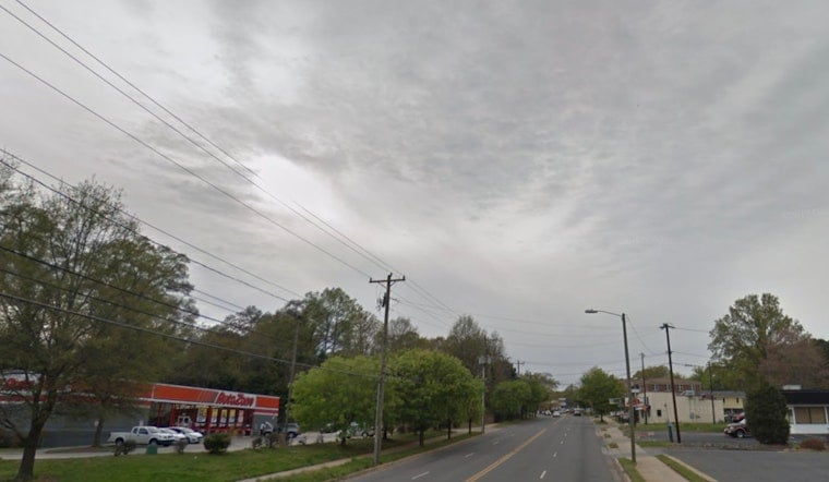
A quick-hitting severe thunderstorm had parts of Cleveland and Gaston counties scrambling Friday afternoon, as residents from Gastonia to Kings Mountain were told to head for cover. The National Weather Service issued a warning at 2:37 p.m., set to expire at 3:15 p.m., calling for radar-indicated wind gusts up to 60 mph and penny-sized hail along neighborhoods and major roads.
Storm tracked near Kings Mountain
According to the National Weather Service, "At 2:37 p.m., a severe thunderstorm was located 10 miles west of Gastonia, or near Kings Mountain, moving east at 30 mph," with forecasters warning that the storm could damage trees and power lines. The office urged anyone inside the warning area to head indoors, stay put, and keep away from windows until the storm passes.
Places in the path
As reported by the Raleigh News & Observer, the warning covered Gastonia, Kings Mountain, Mount Holly, Belmont, Bessemer City, South Gastonia, Dallas, Cramerton, Lowell, and Ranlo. That report noted the National Weather Service expected penny-sized hail and damaging wind gusts strong enough to snap small branches and cut power to some neighborhoods.
Safety and driving tips
The National Weather Service advises people to move to an interior room on the lowest floor of a sturdy building and avoid windows. Lightning can strike far from the storm’s core, and forecasters recommend waiting 30 minutes after the last clap of thunder before heading back outside.
On the roads, drivers are urged to slow down and steer clear of standing water, since hydroplaning becomes more likely at higher speeds. If a vehicle does hydroplane, the agency says to ease off the accelerator and gently steer into the skid rather than making sudden moves.
Residents are also encouraged to keep phones charged, stay tuned to local alerts for updates on outages or road closures, and report hazardous damage only when it is safe to do so. Anyone who encounters downed power lines should keep a wide distance and call 911.





