

























































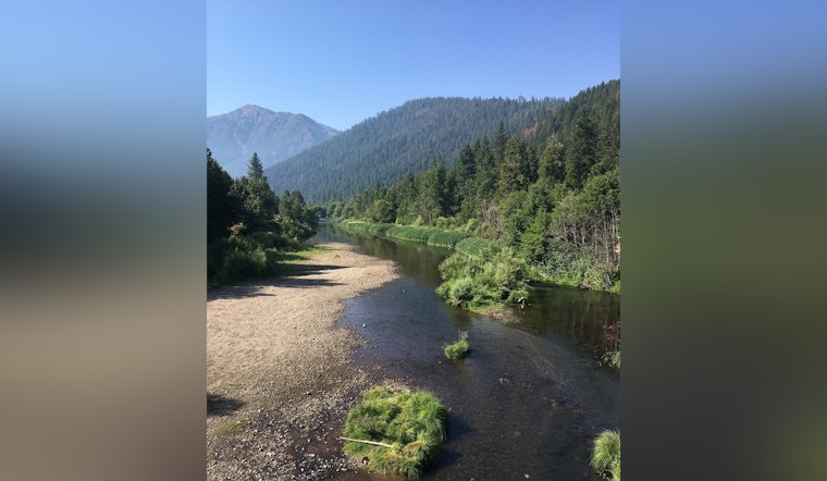
Flood risk lines are on the move in Plumas County, as FEMA rolls out revised preliminary flood maps for the county's unincorporated areas. The new panels redraw hazard zones along multiple streams and channels, shifting where flood rules and insurance requirements might kick in for a wide sweep of rural communities. County officials stress that these are still early drafts, not final law, and that a formal review and appeal period will decide what ultimately sticks.
For now, property owners and local agencies have a limited window to put the new maps side by side with the existing ones, flag discrepancies, and ask technical questions. The idea is to capture newer hydrology and watershed data so the maps better match the way local creeks and flood corridors actually behave on the ground.
Project paperwork filed with the federal government identifies the Plumas County mapping effort as Project 19-09-0001S and designates the county planning office as the official map repository, according to the Federal Register. The county's planning and GIS pages walk residents through how to find both current and preliminary map materials and list local contacts for anyone who needs help navigating the jargon. County staff say they have been working with FEMA to plug in updated data that better traces local flood corridors and stream channels.
How to review the maps and file an appeal
The revised preliminary panels are posted on FEMA's online preliminary map portal, which hosts draft Flood Insurance Rate Maps (FIRMs) and related study documents for public review. According to reporting by Action News Now, FEMA has set a 90 day appeal window running from Aug. 7 through Nov. 4, 2026. During that period, communities and individual property owners can submit formal appeals if they believe the draft maps got something wrong.
There is a catch. Federal mapping rules say appeals have to meet the data standards in 44 CFR 67.6(b), which means it is not enough to say a line "looks off". Objections must be backed up with the technical or scientific documentation FEMA calls for, such as studies, measurements, or other recognized data that can support a change.
What the map changes could mean
For homeowners and builders, the big question is whether a property ends up inside a Special Flood Hazard Area, or SFHA. Being mapped into one of these high risk zones can trigger a lender's flood insurance requirement and can change the permits, building elevations, and design standards required for new construction or major repairs.
FEMA and the National Flood Insurance Program (NFIP) publish guidance explaining how map changes may affect insurance and how owners can document and, if appropriate, correct mapping errors. The NFIP "Map Changes and Flood Insurance" materials outline how those processes typically work. In many cases, when a property is newly placed in a high risk zone, owners who buy or renew coverage quickly may qualify for transitional discounts that soften the initial cost of the new requirement.
Who to contact for help
Locally, Plumas County's Engineering and Planning staff are serving as the map repository and first stop for questions. The county lists Public Works and Engineering staff and a main office phone number for residents who want to dig into the details.
For technical questions or to talk through local data, residents are directed to the Plumas County Public Works and Engineering office, where staff contact information is posted on the county site. Staff there can help people locate the correct map panels, walk through possible next steps for appeals, and point to local resources for elevation or survey data that might be needed to support a challenge.
Why it matters
Map updates like this are part of a wider FEMA effort to modernize flood hazard information so communities have better data for planning and mitigation. When the maps change, long term development rules can shift with them, influencing where new construction is steered, which drainage projects rise on the priority list, and where mitigation dollars are most likely to land.
For residents, the takeaway is straightforward, even if the maps are not. Check the preliminary panels, note any technical questions, and, if something looks off, start pulling together documentation early in the appeal window. That is the best chance to correct potential errors before the new maps are locked in as the official flood risk picture for Plumas County.




