

























































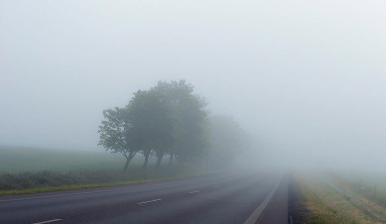
New Orleans woke up in stealth mode Tuesday, July 14, with dense fog and mist hugging the lakefront, cutting visibility down to just a few miles while temperatures hovered around 74°F. The sticky, muggy start is set to trade places with scattered showers and thunderstorms through the morning and into the afternoon, with a high near 86°F before readings slide back into the low 80s later today. Any heavier downpours could quickly overwhelm drains, causing brief street flooding in low-lying neighborhoods and slowing commutes around the metro.
Afternoon Showers And Flood Risk
A stalled frontal boundary is keeping the region unsettled today, and forecasters say repeated rounds of showers and storms could drop locally heavy rain and trigger brief flash flooding, according to NWS New Orleans. The setup features a chance of showers and thunderstorms before 10 a.m., then another window for storms between 10 a.m. and 5 p.m. Tuesday, July 14, with overall precipitation chances near 40% and generally light new rainfall totals. Any slow-moving storm, though, can wring out more rain in a short time. Boaters and folks along the water should stay alert for sudden gusty winds, frequent lightning, and the possibility of brief waterspouts when stronger cells roll through.
Commute And Safety Tips
That morning fog is more than just a moody backdrop for the drive: it can make the commute tricky. Ease off the gas, use low-beam headlights, and give yourself extra stopping distance whenever visibility drops. If you come across standing water, do not try your luck. Turn around, find another way, and keep an eye on local flooding guidance and resources from NOLA Ready. With storms possible into the afternoon, it is smart to watch radar and be ready to move outdoor plans inside if thunderstorms fire up.
Later This Week: Drier Then Hotter
Looking ahead, forecasters expect conditions to trend drier in the latter half of the week, even as the heat cranks up. Highs are forecast to climb into the low-to-mid 90s from Thursday through Sunday, with heat indices possibly approaching advisory levels by Friday. Afternoon outdoor plans will feel noticeably hotter, so it is wise to limit strenuous activity during the warmest part of the day and seek air-conditioned spaces if you are vulnerable to heat. Updates will follow if watches or warnings are issued for storms or excessive heat over the coming days.





.jpg)