

























































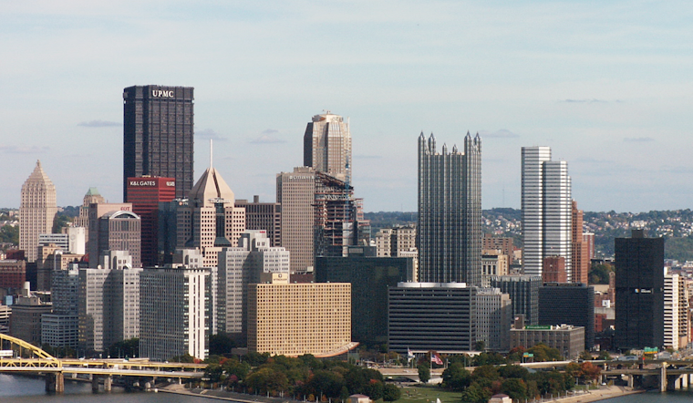
Pittsburgh woke up in a haze on Wednesday, July 8, 2026, with low 70s, thick humidity, and fog clinging to the rivers and valley spots. The murk should lift by mid-morning as skies mix out, but that just makes room for the heat to build into the upper 80s by afternoon. Outdoor plans can expect a mix of sun, sticky air, and the chance of a brief, isolated storm later in the day.
Morning Fog, Then Heat
Areas of fog, especially near the rivers and on bridges, are expected to hang around into the early commute before gradually lifting after sunrise. According to the NWS Pittsburgh, low-level moisture will mix out and allow temperatures to climb to around 89°F. Isolated showers or a quick-hitting thunderstorm are possible in the early to mid-afternoon, roughly between 2 and 3 p.m. Forecasters add that coverage looks limited, so most neighborhoods should stay dry but uncomfortably muggy.
Afternoon Storms: Timing And Impacts
Any storm that does bubble up this afternoon is expected to be short-lived and hit-or-miss, but slow movers could dump brief heavy downpours and knock down visibility in a hurry. Forecasters say the threat for severe weather is limited and flooding concerns are very low and localized, but it is still smart to keep a light rain jacket handy for errands and be ready for a fast shower. Temperatures are forecast to slide back into the upper 60s to low 70s overnight.
Late-Week Outlook
The pattern turns more unsettled Thursday into Friday, with scattered showers and thunderstorms on Thursday followed by a more widespread and wetter round on Friday. According to the NWS Pittsburgh, Friday's system could produce locally heavy rainfall, with new totals of about a half to three-quarters of an inch possible in some spots. Rain chances for the weekend have been trimmed back, so if you are planning around this stretch, Friday remains the day with the highest risk for rain.
How This Update Compares
We covered the foggy morning, stormy afternoon setup in a piece published on July 7. This morning's bulletin tightens the expected afternoon timing, leans into a wetter Friday, and scales back the weekend rain odds. The storyline is basically the same fog to start, heat in the afternoon but the timing details and rainfall amounts are why it is worth checking in on updates through the week.
Practical Tips
Give yourself extra time and drive slowly through fog, sticking with low beams instead of high. Stash a compact rain jacket for afternoon trips outside, and keep a radar app handy if you will be outdoors later today. For Friday plans, it is wise to have a backup option for anything outside, since that is the day with the best shot at heavier rain.





