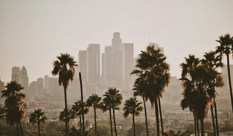
Downtown Los Angeles started Sunday, July 5, 2026, on the cool and muggy side, with temperatures sitting in the mid-60s and low clouds pressed along the coastline. Skies are expected to clear through the afternoon, with a high near 84°F downtown, while inland neighborhoods run noticeably hotter than the spots closer to the water.
Afternoons Warm, Mornings Foggy
The marine layer should steadily thin during the day, giving way to mostly sunny afternoons and light south-southwest breezes of about 5–10 mph. Coastal areas will hang onto the cool air longer, so it will feel quite a bit milder by the beaches than it does inland.
Night and early-morning low clouds or patchy fog are set to redevelop tonight and again Monday morning along the beaches and in the coastal valleys. If you have early plans near the water, plan on a gray, damp start and bring a light jacket until the fog burns off.
Air Quality Alert After Fireworks
The South Coast Air Quality Management District issued an air-quality alert for much of Los Angeles County from July 4 into Sunday, warning of elevated fine-particle pollution tied to Independence Day fireworks. Those tiny particles can aggravate heart and lung conditions, so sensitive groups — people with lung or heart disease, older adults, pregnant people and children — are advised to limit extended or intense outdoor activity and keep windows closed. For current maps and guidance, see South Coast AQMD.
Heat Risk Rises Midweek
High pressure is expected to build early this week, gradually eroding the marine layer and pushing daytime temperatures above normal by Tuesday and Wednesday, especially inland. Forecasters say some inland valleys could climb into the mid-90s by midweek, and heat advisories may be needed for inland areas including the San Fernando and Santa Clarita valleys. Those timing and heat-risk details are laid out by the National Weather Service Los Angeles/Oxnard.
Winds And Boaters
Onshore breezes will generally stay on the lighter side, but forecasters note that gusty conditions are possible away from the immediate coast. The Antelope Valley and nearby foothill locations could see gusts up to around 35 mph, and brief Sundowner gusts near 40 mph are possible on some evenings.
Out on the water, small craft advisory conditions are possible on the outer waters later this week as winds and seas increase, so boaters should check the latest marine forecast before heading out. If the morning fog lingers, expect slower-going on coastal commutes and give yourself extra time.
The bottom line: carry layers for the cool, foggy starts, keep a close eye on local AQI if you or someone you care for is in a sensitive group, and get ready for a warm spike inland later in the week. For updated forecasts and maps, check in with the National Weather Service and South Coast AQMD before locking in your plans.


