

























































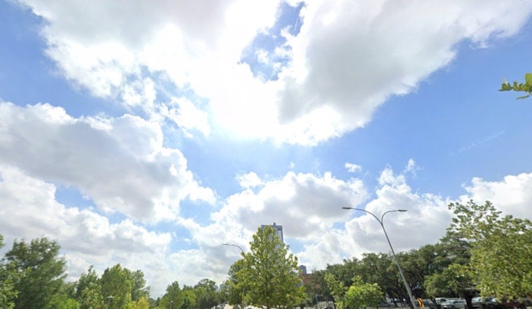
Saturday, July 25 - Seattle is finally getting a breather from the midweek scorch. Skies are mostly cloudy this morning, with temperatures hanging in the low 60s near the water while inland neighborhoods climb through the 60s toward an afternoon high near 73°F. South-southwest winds will kick up later around 10 to 12 mph, so it may feel cooler than the numbers suggest.
Coastal Advisory And Bay Winds
If you are thinking about heading out on the water, take note. A Small Craft Advisory is in effect from 8 a.m. to 5 p.m. Saturday for the outer coastal waters, where choppy seas and south winds could make things rough for smaller boats. According to the National Weather Service, the advisory covers waters from Cape Flattery to James Island, so recreational boaters should double-check the latest marine forecast before casting off.
Spotty Rain Late Sunday
A weak front and an upper-level trough slide through Sunday into Sunday night, bringing the best shot at light rain to the Olympic Peninsula and the northwest interior. Puget Sound looks to stay mostly on the cloudy side. High temperatures will run cooler than typical late July numbers, generally in the lower 70s, with overnight lows sitting in the upper 50s to low 60s.
What This Means For Plans
Plan on layers for cool mornings and breezy afternoons. Inland areas nudge a bit warmer by Monday with highs near 78°F, while coastal spots keep their milder feel. For context, Seattle hit the low 90s midweek under a heat advisory - check out our Seattle heat wave to see how sharply the pattern flipped heading into the weekend.





