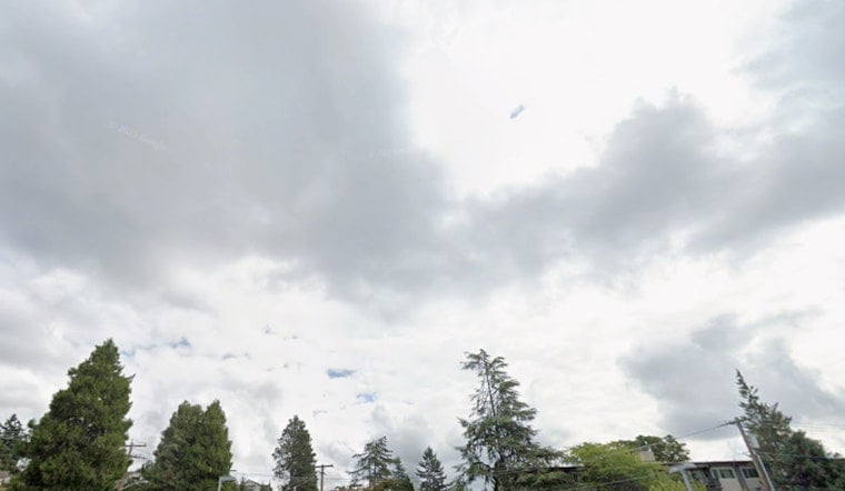
Seattle woke up to a classic gray lid on Wednesday, with Boeing Field (KBFI) reporting overcast skies and roughly 54°F as the morning commute got underway. A stubborn marine layer will hang over the city through the morning, but temperatures should still climb into the upper 60s by midafternoon on a light south-southwest breeze.
What To Expect Today
Mostly cloudy skies will rule the day on Wednesday, July 1, with a high near 68°F and only a slight chance of drizzle during the morning commute. Winds stay light, mainly out of the south-southwest at about 5–8 mph, so driving and most outdoor plans should roll along without much weather drama. Overnight lows drop into the mid-50s, with clouds lingering into the night.
Coastal Waters And Boaters
Out on the water, it is a rougher story. Small Craft Advisories are in effect for the outer coastal waters and parts of the Strait of Juan de Fuca, where seas will be choppy and build to roughly 10–11 feet tonight. According to the National Weather Service, those advisories run into the evening, so small vessels should use extra caution or stick to more sheltered waters. The office's forecast discussion also notes that June 2026 finished warm at Seattle–Tacoma airport, ranking among the city's warmest Junes on record.
Holiday Weekend Outlook
Drier, sunnier weather moves in just in time for the July 4 holiday weekend, with highs warming into the low-to-mid 70s inland and the mid-60s at the shoreline, and Independence Day looks mostly sunny with a high near 74°F. A thinner marine layer and lighter onshore flow Friday and Saturday should open more afternoon windows of sun across the city. Plan to layer up for gray mornings that give way to brighter afternoons, and check marine forecasts if your holiday plans involve the waterfront.


