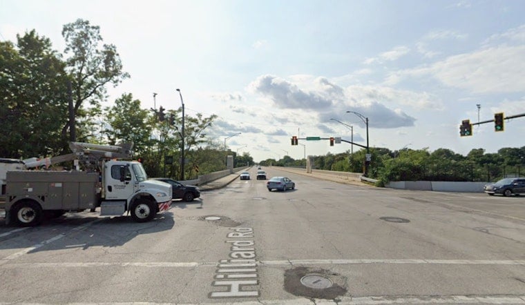
Cuyahoga County is asking residents to weigh in on a new design for the aging Hilliard Road Bridge, which carries Hilliard Road over the Rocky River between Lakewood and Rocky River. The latest proposal would slim the roadway from four travel lanes to two, using the extra space for a sidewalk, a shared-use path, and landscaped buffers aimed at making things safer for people walking and biking. County engineers say the bridge’s signature concrete arches will not be part of the replacement because of funding limits, a decision already stirring debate among preservationists and park users.
Third virtual open house runs through July 27
The county has launched a third virtual public meeting, where updated renderings, project documents and an online comment form are available through July 27. According to the City of Lakewood, comments submitted by that date will be included in the project's official records. The online materials recap earlier public feedback and show how deck-level features such as overlooks and lighting could still be included even with a simpler structural span.
What the redesigned bridge would do
The revised design trades the previously selected arch-style span for a more traditional highway bridge, while keeping deck-level touches like overlooks and decorative lighting. As reported by Cleveland.com, the plan would reduce Hilliard Road from four lanes to two to make room for a sidewalk, a shared-use path, and landscaped buffers for cyclists and pedestrians. Supporters argue the redesign will better connect nearby neighborhoods and the Valley Parkway Trail. Critics worry the replacement gives up too much of the bridge’s historic character.
Historic status and trail detours
The existing open-spandrel concrete arch is eligible for listing on the National Register of Historic Places, and earlier inspections found falling concrete that led to protective netting and a temporary reroute of the Valley Parkway Trail, according to Cuyahoga County. With the design now shifted to a non-arch structure, officials say the county and ODOT are reevaluating the project's effects on historic resources through the Section 106 process and inviting interested parties to participate in that review. That process will determine whether mitigation, documentation or design adjustments are required before construction moves forward.
Costs, timeline and why the arch was dropped
Project documents and presentation slides show the replacement comes with a multi-tens-of-millions price tag. A Cleveland Metroparks presentation and project tables put the total in the roughly 70 to 80 million dollar range, with multiple funding sources needed to close the gap. According to the City of Lakewood, detailed engineering and design work are expected to continue through 2026 and 2027, and construction is currently expected to begin in 2031, a schedule shaped by the hunt for federal and state grants. Officials say those funding realities are the reason the more expensive arch option was deemed infeasible and the team pivoted to a conventional girder span to keep the project achievable.
How to weigh in
To see the materials and submit comments, residents can visit the project's online open house on PublicInput. The portal accepts written comments and shows updated renderings for review. Comments submitted by July 27 will be included in the project record. The county also accepts emailed or mailed comments via the Public Works contact listed on the project page. For questions or written submissions, the project lists [email protected] and 216-348-3855, and mail can be sent to Public Works: Aaron Adkins, 2079 East Ninth Street, 5th Floor, Cleveland, OH 44115, see PublicInput and the county's project page for details.
Why this matters locally
Planners note that the added sidewalk and shared-use path would line up with multimodal and active-transportation goals adopted by Lakewood and Rocky River, as well as regional efforts to better connect trails and neighborhoods. The redesign highlights a familiar tension in local infrastructure projects: how to balance safety, connectivity and cost with the community’s desire to preserve historic character and park views.


