

























































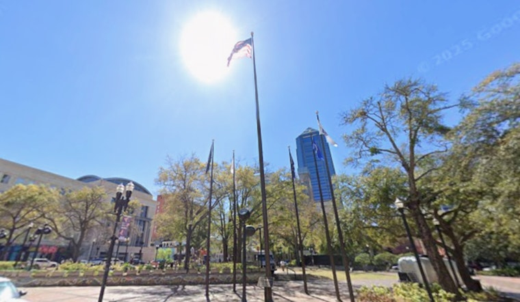
Jacksonville woke up to clear, muggy air on Saturday, July 18, 2026, with early morning temperatures already in the upper 70s and highs headed for about 94°F. Add in the humidity and it will feel like the low 100s, especially through the midafternoon, which is shaping up to be the roughest part of the day. Scattered, slow-moving showers and isolated thunderstorms are on tap for inland areas later today, with coverage expected to ramp up into Monday.
Afternoon Heat And Storm Chances
Most of the region will bake under mostly sunny skies this afternoon. A sea breeze will knock a couple of degrees off the heat at the beaches, while inland neighborhoods take the full hit with highs near 94°F and heat-index readings pushing into the low 100s. Late this afternoon, scattered inland showers and isolated thunderstorms could fire up and bring brief heavy downpours and strong gusts. For hour-by-hour details and the latest heat-index readings, check the National Weather Service Jacksonville.
Keep An Eye On The Gulf Low
The National Hurricane Center is tracking a low-pressure area in the northeastern Gulf that has about a 10% chance of development over the next 48 hours and roughly a 30% chance over the next seven days. Even if it never turns into a tropical cyclone, this system could still pipe tropical moisture into northern Florida and boost shower and thunderstorm coverage Monday and Tuesday, which would nudge up the risk of localized flooding. You can find the latest outlook from the National Hurricane Center.
Beaches, Boaters And Heat Safety
Moderate rip currents are expected this afternoon and into Sunday along area beaches, with surf generally running 2–4 feet. Swimmers should follow lifeguard flags and posted warnings, and steer clear of breaking waves if they are not confident in the water. Boaters need to keep an eye out for southerly gusts in and near thunderstorms that can quickly turn conditions choppy.
With heat-index values topping 100°F, it is a good day to slow down outdoor activity, drink plenty of fluids, and check on neighbors who may not have reliable cooling. Short-term radar and local forecasts will be the best tools for tracking where storms pop up. Keep a phone handy to monitor passing showers that can form with little warning, and try to schedule outdoor plans for early morning or evening while the pattern stays unsettled into early next week.





