

























































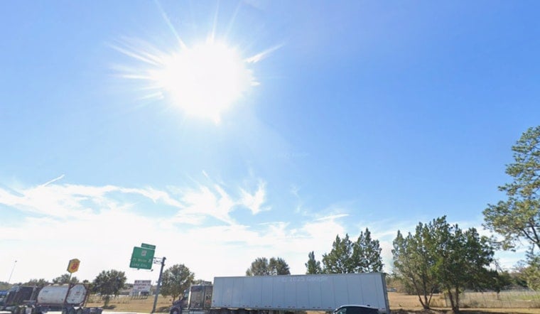
Jacksonville rolled out of bed to sauna-level air on Monday, July 27, 2026, with the airport already clocking about 82°F this morning and temperatures expected to spike near 96°F by afternoon. A Heat Advisory is in effect from 11 a.m. to 8 p.m., with heat-index readings forecast to make it feel like a brutal 107–111°F in parts of the metro area. Mostly sunny skies to start will give way to a slight chance of showers and thunderstorms after 1 p.m., and any pop-up storm could bring brief heavy downpours and gusty winds. Forecasters are urging people to limit outdoor exertion during the midday heat, stay hydrated, and check in on neighbors who might be more vulnerable.
Afternoon Heat And Storm Threat
According to NWS Jacksonville, today’s high is on track to reach about 96°F, with a slight chance of showers and thunderstorms developing late this afternoon. The official forecast calls for heat-index values climbing as high as 109°F, with northwest winds around 7–10 mph and gusts up to roughly 16 mph in stronger cells. Any beefier thunderstorms could kick out localized downburst gusts and trigger brief, heavy rainfall that sharply cuts visibility on the roads.
Where To Find Relief
The city’s Stay Cool Jax program is steering residents toward air-conditioned libraries, community centers, pools, and splash pads as go-to spots for relief from the worst of the heat. Free JTA rides are available to cooling centers on designated Heat Emergency days, offering a lifeline for those without easy transportation. For a detailed map of locations and current hours, officials advise checking local resources before heading out. According to the City of Jacksonville, two primary Emergency Cooling Centers are reserved for Sundays and holidays.
Beach And Evening Outlook
Along the coast, an east-coast sea breeze will knock temperatures down a bit, keeping immediate beach areas somewhat cooler than inland neighborhoods. Swimmers, though, should be aware of a low-end moderate rip-current risk this afternoon, with surf running about 1–2 feet. Any evening storms are expected to taper off by midnight, although pockets of heavier rain and gusty winds may hang on into the early night. If you need to be outdoors, forecasters suggest planning activities for early morning or after sunset, when actual temperatures and that punishing heat index are both a little more forgiving.





