

























































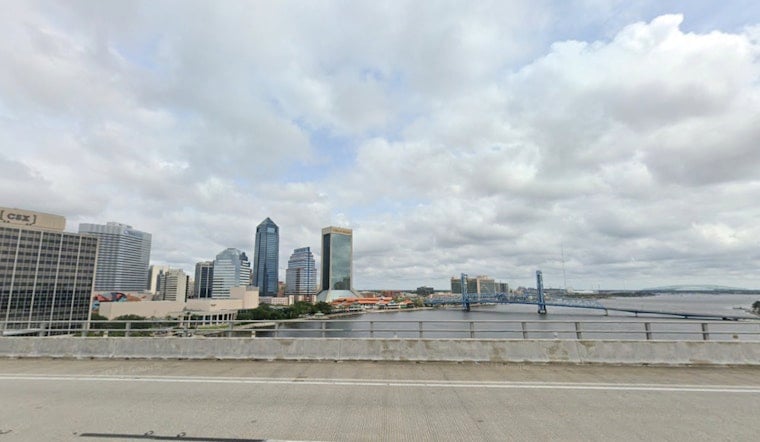
Jacksonville woke up Thursday, July 23, to muggy skies and low-80s readings, with highs expected to push near 95°F and heat-index values headed for the low to mid 100s. Inland neighborhoods and communities just west of I-95 will take the worst of the heat, while the sea breeze keeps the immediate coast a few degrees cooler. If you have to be outside, try to get the heavy lifting done in the morning or evening and watch for signs of rapid heat-related fatigue during peak afternoon hours.
Afternoon Sizzle, Slight Coastal Break
The National Weather Service is calling for a mostly sunny Thursday with a high near 95°F and southeast winds of 2 to 12 mph. In its forecast discussion, the agency flags heat-index values potentially topping 102 to 108°F through parts of the upcoming weekend. Sea-breeze collisions should keep coastal beaches a few degrees cooler, but that same setup will focus any afternoon shower or storm activity farther inland. For today, rain chances stay low, with only isolated, low-topped showers possible this evening as the sea breeze drifts inland.
Weekend Outlook: Heat Cranks Higher, Storm Odds Rise
Heat builds on Saturday, July 25, with highs near 98°F and about a 50% chance of afternoon showers and thunderstorms after roughly 2 p.m. Forecasters note that storms forming along and just east of I-95 could pack strong downburst gusts of 40 to 55 mph along with heavy rain. From Sunday, July 26, into Monday, July 27, conditions look even more humid, with more widespread afternoon storms expected as a weak front sags south. Overnight temperatures may offer little relief.
How to Stay Safe
Staying hydrated, taking regular shade breaks, and shifting strenuous outdoor work away from the peak afternoon window remain the simplest ways to cut your risk in the heat. The City of Jacksonville maintains a cooling-center contingency plan and may open sites during prolonged heat events, so check local resources if you do not have air conditioning. Beachgoers should also be cautious: rip currents are at a moderate level this week, and short-lived but intense storms tied to the sea breeze can bring dangerous lightning and gusty winds.
The bottom line is a hot, humid stretch through midweek, with afternoon storm chances ticking up each day. Plan outdoor events for the cooler morning hours and keep an eye on forecast updates. We will post updates if any Heat Advisories are issued for Duval County over the weekend.





