

























































Monday, July 20, 2026: Mostly clear and about 80°F at 5:03 a.m. EDT near Jacksonville International Airport, with humidity already feeling sticky. A seasonably hot summer day is on tap, with highs near 95°F and peak heat index values headed for the low to mid 100s by late afternoon. Scattered afternoon showers and thunderstorms could muscle in on outdoor plans and the evening commute.
Afternoon Storms And Heat
Showers and thunderstorms are expected to develop after 2 p.m., with a high near 95°F and heat index values possibly reaching 100 to 105°F. South winds will blow around 6 to 13 mph with gusts near 20 mph under normal conditions. Forecasters note that a few stronger storm cores could kick out outflow gusts up to 50 mph, with efficient downpours that may trigger brief urban or roadway flooding, especially along the I-95 corridor where storms could line up one after another. The chance of precipitation sits around 40% for the Jacksonville area, according to the National Weather Service.
Storm Timing And Local Impacts
Thunderstorm coverage should ramp up in the late afternoon into early evening, then gradually wind down after sunset, with most activity fading before midnight. Main concerns include sudden heavy rain, brief urban flooding on low-lying streets, and strong, erratic gusts near the more intense cells. If you are traveling this evening, plan for extra time and avoid driving through standing water, no matter how shallow it looks.
Beach And Marine Impacts
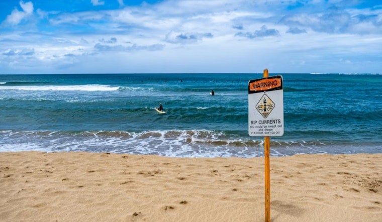
A breezy longshore south flow will hold breakers around 2 to 3 feet today and create a Moderate rip current risk at area beaches, with surf expected to build and rip danger on the rise by Tuesday. Lifeguards and ocean rescue recommend swimming only near a lifeguard stand, following posted flags, and staying out of the water when warnings are in place. For more details, see Jacksonville Beach Ocean Rescue. Mariners and small-boat operators should expect elevated southerly winds and increasing seas into early next week.
Tropical System And The Week Ahead
Forecasters are tracking a tropical depression in the northern Gulf that is expected to strengthen as it moves west. Direct local impacts for Jacksonville are not expected through midweek, but the system will help maintain a southerly flow and keep daily storm chances in the forecast. A somewhat drier day is possible Wednesday before hotter conditions return later in the week, with the pattern of afternoon storms and steamy temperatures likely continuing into the weekend.
What To Do
Stay hydrated, grab shade when you can during peak heat hours, and keep an indoor backup plan for any outdoor activities this afternoon and evening. At the beach, swim near lifeguards, follow the flag system, and if you are caught in a rip current, swim parallel to shore until you exit the current, then angle back toward the beach.





