

























































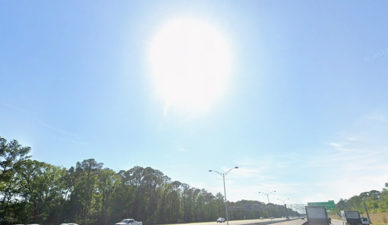
Jacksonville is waking up to mostly clear skies this Friday morning, July 17, 2026, with temperatures already in the upper 70s at local stations. The air is thick, the sun is working overtime, and it is shaping up to be a classic hot-and-humid North Florida day, with highs near 93°F and heat index values climbing to about 103°F before storms fire up later.
Afternoon Storms And Flood Risk
Showers and thunderstorms start to move into the picture after 1 p.m., with the better shot at stronger, slow-moving storms from late afternoon into the early evening. Areas west of the St. Johns River and south of I-10, including stretches along the I-75 corridor, face the greatest risk of heavy downpours, frequent lightning, and gusts that could reach 35–45 mph. Those downpours can trigger localized urban flooding and quickly cut visibility on the roads, according to the National Weather Service in Jacksonville.
Beachgoers And Mariners
If you are heading for the sand instead of the streets, the sea breeze will keep coastal spots a few degrees cooler, but it comes with a tradeoff. That onshore flow can help stir up a low-end moderate rip current risk this afternoon, and forecasters say continued surf and southerly wind surges through the weekend may keep the rip threat at moderate levels at area beaches. Boaters and swimmers should listen to lifeguards and check local beach advisories on the City’s preparedness site, JaxReady, before heading out.
Timing And What To Do
The prime window for storm impacts runs from mid to late afternoon through early evening, roughly 3–9 p.m., with a slight chance of showers hanging around overnight as temperatures slip to near 77°F. If you have outdoor plans this afternoon, it is wise to bump them earlier, avoid driving through standing water when storms roll in, and keep a weather app or NOAA radio handy in case thunderstorm warnings pop up on short notice.
Weekend Outlook
Thunderstorm coverage is expected to ramp up into the weekend and early next week, with a higher flood threat Sunday into Monday as tropical-moist air and a weak surface trough move into the region. Forecasters note a low, around 20 percent, chance that this feature could pick up subtropical characteristics over the northeast Gulf. If you have beach days, backyard parties, or road trips on the calendar, keep an eye on updated forecasts from the National Weather Service in Jacksonville as the pattern evolves.





