

























































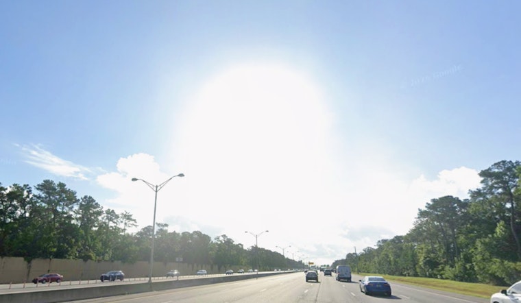
Jacksonville started off steamy on Saturday, July 25, 2026, with the airport clocking in at about 81°F and thick humidity before sunrise. The real trouble is waiting for the afternoon: temperatures are expected to climb near 98°F, with dangerous heat indices and scattered storms later that could shut down outdoor plans in a hurry. If you are set on being outside, early morning or evening is your best bet, and you will want water with you at all times.
Heat And Hazards
A Heat Advisory is in effect today from noon to 7 p.m. EDT, with heat index values projected to reach as high as 110°F. That makes the midday peak especially hazardous for working, exercising or lingering outside too long. Both coastal and inland neighborhoods will feel the blast, although the beaches should run a few degrees cooler once the sea breeze kicks in.
Beachgoers are not off the hook. A moderate rip-current risk and 2 to 3 foot surf are in play, so swimming near lifeguards and following the flag warnings is strongly recommended. According to the National Weather Service Jacksonville, residents should stay hydrated, take frequent breaks from the heat, limit strenuous activity and check on anyone who might be especially vulnerable.
Cooling Centers And Help
The City of Jacksonville’s Stay Cool Jax program can open public cooling centers during extreme heat events, so if you need a break from the heat, you should confirm the list of sites and hours before heading out. Centers are generally announced when advisories become prolonged or particularly dangerous. Bring any medications, identification and basic necessities you may need while you cool off.
For the latest on which locations are currently activated and what hours they are keeping, check the city’s information before you leave home. Visit the City’s page at City of Jacksonville for details.
Afternoon Storms And Timing
Scattered to numerous showers and thunderstorms are expected to bubble up after about 2 p.m., with the greatest coverage running from the I-95 corridor west toward US-301. Slow-moving storms may dump a quick quarter to a half inch of rain, and a few stronger cells could kick out gusty winds of about 40 to 60 mph along with frequent lightning.
Most of the storm activity should wind down after about 10 p.m., although a few isolated cells might hang on into the overnight hours. If you have outdoor events on the calendar, it is smart to have an indoor backup plan and keep an eye on radar and alerts through the afternoon and evening.
What To Expect Tonight
Overnight skies will run mostly cloudy, with lows near 78°F and a lingering chance of showers into early Sunday. Humidity will stay high enough to keep conditions feeling muggy even after dark. If you are banking on early outdoor plans Sunday, check for updated forecasts in the morning, since any shift in the storm pattern or heat could change when relief finally shows up. Local forecasts will be adjusted if advisories or hazards are updated.





