

























































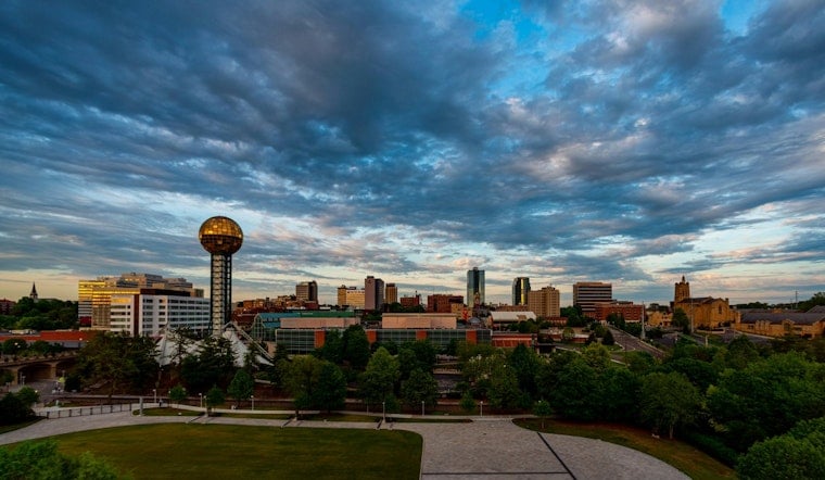
Tuesday, July 14, 2026, started out like a classic Tennessee sauna, with Knoxville waking up to muggy, partly cloudy skies and temperatures near 70°F at McGhee Tyson Airport. Relative humidity hovered around 94%, making the morning air feel heavy even before the sun really got going. Skies are expected to brighten through late morning, but that will just set the stage for scattered storms to bubble up later in the day.
Afternoon Storm Risk
Showers and thunderstorms are possible after 2 p.m., with the high topping out near 86°F and a light northeast breeze around 5 mph. The National Weather Service pegs the chance of rain at about 30% for the Knoxville area, with the heaviest storm coverage focused farther south toward Chattanooga. Around Knoxville, storms are more likely to be isolated rather than widespread.
Any stronger cells that do develop could bring brief, heavy downpours and frequent lightning. If you see storms moving in, it is time to take those outdoor plans inside, according to the National Weather Service Morristown.
Flooding Risk
A regional flood watch has been allowed to expire, but that does not mean the flood risk is gone. After recent heavy rain, the ground across the area is still saturated, which bumps up the chance for isolated flooding in low-lying and urban spots on Tuesday, July 14, 2026.
Knox County Emergency Management is keeping an eye on things and reminding residents that driving through flooded roadways is dangerous, per WVLT. If water is covering a roadway, follow the Turn Around, Do not Drown guidance, skip the shortcut, and wait until the water recedes.
Rest Of Week
Wednesday, July 15, 2026, looks more like a standard midsummer day, with a high near 88°F and heat index values climbing into the mid 90s in the warmest spots. By Thursday, July 16, 2026, sunshine should win out a bit more, pushing highs to around 91°F before the pattern starts to shift.
From Friday through Sunday, rain chances are expected to tick back up as a weak trough moves into the Eastern United States. For day-by-day details and any forecast tweaks, check in with the National Weather Service Morristown.
What To Do
If you have outdoor plans this afternoon or evening, build in a backup. A light rain jacket is a good idea, and it is smart to have an indoor option between about 2 p.m. and 8 p.m. Steer clear of flooded streets, keep an eye on local radar and official updates before heading out, and head inside quickly if you see lightning or hear thunder.



