

























































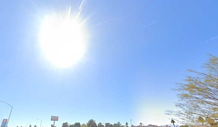
Las Vegas rolled into Thursday, July 16, 2026, under mostly clear skies and temperatures already in the low 90s, a sign the heat is not letting up. The valley is headed for a punishing afternoon, with highs expected around 109°F and heat-index readings near 105°F. Light east‑southeast winds are expected to strengthen later, and pockets of monsoon moisture mean showers or thunderstorms could bubble up over nearby mountains this evening.
Afternoon Heat And Storm Threat
According to the National Weather Service, a high near 109°F is on tap today, with east‑southeast winds of 5 to 12 mph and gusts up to 20 mph, pushing heat-index values into a range that can make outdoor work dangerous. Monsoonal moisture will keep a chance of terrain‑focused showers and thunderstorms in the forecast through Friday, with the greatest storm coverage east of the valley and over higher terrain. Any storms that manage to fire could deliver brief heavy downpours, lightning and sudden gusty outflow winds that may rush away from the parent cell and surprise areas that see little rain.
Winds, Travel And Flights
Outflow winds from late‑day storms can kick up fast and hit hard, briefly reducing visibility in heavy rain and making highway driving uncomfortable, especially along open stretches of I‑15 and rural roads. Travelers using Harry Reid International should be ready for erratic winds this afternoon and evening if storms flare nearby, and airlines may need to tweak departure times when gusty outflows move across the airfield. Check live airport updates and build in extra time if you are heading for a flight later today.
Where To Cool Off
Clark County has daytime cooling stations operating through Thursday to help residents escape the worst of the heat; check the county list for specific locations and hours. Libraries, parks with splash pads, shopping centers and county facilities are being highlighted as relief options for anyone without air conditioning. Neighbors are urged to check on older adults, people with chronic health conditions and those working outdoors, and to help them find a cool spot during peak heating hours.
Through The Weekend
Temperatures ease only slightly into the weekend, staying in the low 100s with highs around 103 to 105°F and continued slight chances for afternoon thunderstorms. The most robust storm development should remain over higher terrain and east of the valley, but an isolated cell could drift into the urban core with brief heavy rain and gusty winds. If you have outdoor plans, shift strenuous activities to early morning or evening and do not forget to bring water.





