

























































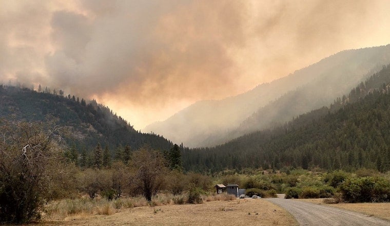
Level 3 "Leave Now" evacuation orders sent parts of rural Okanogan County scrambling this week, as a fast-moving wildland fire pushed toward homes and county roads. People living along Salmon Creek Road, Dry Coulee Road and nearby routes were told to clear out immediately while smoke and flames crept closer. The county opened animal sheltering at the fairgrounds and a Red Cross reception point in Omak while firefighters worked through the night to keep the blaze away from neighborhoods.
Video from the scene showed a tense evacuation in real time: emergency vehicles racing through the smoky landscape, residents loading up and leaving under bright red "go now" zones, and crews directing traffic near Salmon Creek and Pogue Mountain, according to KIRO 7.
Where officials told people to leave
In its incident bulletin, Okanogan County Emergency Management laid out the Level 3 evacuation footprint in detail. The list included Salmon Creek Road North, Dry Coulee Road, East Dry Coulee Road, Woods Hill Road and "all roads west of Conconully Highway, from Kermel Road to Green Lake Rd.", an area where the fire was climbing up Pogue Mountain. The county named Community Presbyterian Church at 9 S. Birch St. in Omak as the Red Cross shelter and designated the county fairgrounds for animal sheltering, according to Okanogan County Emergency Management. The bulletin did not mince words: "This may be your only evacuation notice. Evacuate now."
By the next morning, there was a bit of breathing room. In a 10:26 a.m. bulletin on Friday, the county reported that forward fire progression had slowed and that "ALL EVACUATION AREAS HAVE BEEN REDUCED TO LEVEL 2," according to Okanogan County Emergency Management. Even with the downgrade, officials confirmed that three primary residences were destroyed. Several road closures stayed in place while firefighters chased interior hot spots, and the county urged people to respect barricades and stay out of the area so emergency vehicles could move freely. A live perimeter map remained available online for those tracking the fire’s footprint.
How this fits into a volatile fire season
The B AND O blaze is only the latest in a string of fast-moving fires to hit north-central Washington in recent weeks. Earlier large incidents in Okanogan County have already triggered Level 3 evacuations this season. Local reporting shows the Kartar blaze near Omak ballooned quickly before crews finally gained containment, and other late June wildfires also forced mass evacuations and put heavy pressure on regional firefighting resources, according to NW FireWatch.
Where to get official updates
Residents looking to track the situation in real time can turn to county resources for maps and bulletins. The county-hosted perimeter map is available through the incident map, and locals can sign up for Okanogan County emergency alerts through Everbridge.
Officials have stressed that wind shifts and bone-dry fuels can change fire behavior quickly, even when evacuations are at Level 2. Their standing advice: if conditions feel unsafe, do not wait for another alert. Leave early, stay clear of closure zones and keep an eye on official channels for updated maps, evacuation levels and shelter information. This story will be updated as new details come in from incident managers.




