
























































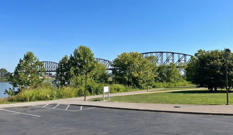
Louisville is finally catching its breath from the recent muggy streak on Wednesday, July 22, 2026. Clear skies and noticeably cooler air have settled in, with patchy fog possible in some areas. The day is expected to feel more comfortable than the past few humid days, with highs in the mid to low 80s and winds becoming northwest with cooler air that may help lower humidity through the afternoon.
Afternoon Into Next Week
According to the National Weather Service in Louisville, highs should top out in the mid to low 80s today with northwest winds. As skies clear overnight, patchy fog is possible in eastern parts of the area.
Rain chances return Friday into the weekend. Daytime highs will climb into the mid-80s on Saturday and then into the low-90s by Sunday and Monday, so the brief cool-down will not stick around for long.
Plan Ahead
Patchy morning fog is possible, so drivers should use headlights where visibility drops.
If you have outdoor plans for Sunday or Monday, prepare for hotter conditions: bring water, take breaks and check local cooling resources. See Louisville Metro for cooling-center details and safety tips.
Bottom Line
Enjoy the comfortable midweek weather while it lasts, and keep an eye on forecasts if you have weekend plans. Updates will follow if any advisories are issued.




