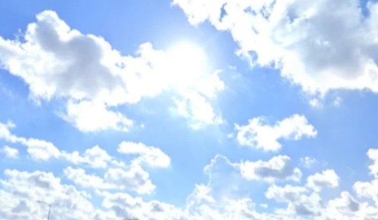
Memphis woke up hot and sticky on Saturday, July 4, with airport observations close to 77°F and mostly clear skies early this morning. A Heat Advisory blankets the Mid-South through 8:00 p.m. CDT as humidity pushes feels-like readings well into the triple digits. The most intense heat is expected from early to mid-afternoon, with a chance of pop-up storms later that could throw a wrench into outdoor Fourth-of-July plans.
Afternoon Storms Could Interrupt Fireworks
According to the National Weather Service Memphis, a mostly sunny start will transition to a chance of showers and thunderstorms after 1:00 p.m. CDT. The highest odds for storms land between roughly 2:00 and 5:00 p.m. Any storm that pops could pack brief heavy rain and gusty winds, even as highs climb into the mid-90s and heat index values reach 105–109°F.
What This Means For Independence Day Plans
The Downtown Memphis Commission is hosting its Independence Day on the River celebration from 6:00 to 9:00 p.m. at Tom Lee Park, with a drone show and fireworks slated for about 9:00 p.m. If storms flare during the afternoon or early evening, they could briefly delay the program, so plan for possible hold-ups and keep an eye on weather reports if you are headed downtown. Gates open at 5:30 p.m., so arriving on the earlier side can help you find shade and dodge the worst of the heat.
Heat-Safety Tips
Keep water with you, seek air-conditioned shelter through the mid-afternoon peak, and avoid strenuous outdoor work from about 1:00 to 5:00 p.m. Check in on older adults, children, and pets, and if you are at outdoor events be ready to move indoors quickly if lightning or strong gusts show up. Organizers will post weather updates, so if an evacuation or delay is announced, follow staff directions and official channels.


