

























































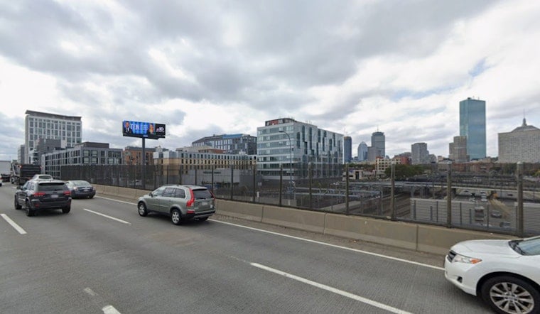
Boston rolls into Friday stuck in the summer soup, with a high near 88°F and a partly sunny sky. Coastal neighborhoods should stay a bit cooler thanks to seabreezes, while inland spots along and south of the Mass Pike are set to feel the warmest and stickiest. The tradeoff for all that humidity is a late-day chance for scattered showers and a few isolated thunderstorms that could briefly tangle the commute or derail outdoor plans.
Afternoon Storm Chance
The morning and early afternoon are expected to stay mainly dry, but a cold front sagging south will bump up the odds for showers and isolated thunderstorms after about 2 p.m., with the better chance across southern and eastern parts of the city and nearby suburbs. Any storms that do pop should be short-lived but could bring lightning and pockets of heavy rain that quickly cut visibility on the roads.
According to the National Weather Service, the chance for precipitation this afternoon sits around 20 to 30 percent, and there are no active watches or warnings posted for Boston at this time.
Weekend Break
High pressure slides in for Saturday and Sunday, delivering drier air, noticeably lower humidity and highs in the low 80s inland, with upper 70s along the shoreline. In other words, it should feel far more bearable than last week’s holiday heat spike. For a refresher on that steamy stretch, see Hoodline’s look at the Fourth of July heat wave (Boston Swelters).
Heat Returns Midweek
Temperatures start to crank back up by Tuesday and Wednesday, with inland highs potentially reaching the mid 90s to near 100°F as humidity makes a comeback. The NWS forecast discussion points to a building ridge midweek that could deliver another round of high heat and humidity and notes the potential for local heat headlines if current trends hold. Boaters and small-craft operators should also keep an eye on a low risk for Small Craft Advisory-level gusts and seas early next week and stay tuned for updates if you are heading out on the water.
Plan and Safety
If you have outdoor plans this afternoon, it is worth tossing a light rain jacket in the bag and allowing extra time between about 2 and 6 p.m. in case brief downpours or lightning trigger delays. People who are sensitive to heat may want to use the drier weekend to cool down and then be ready to scale back strenuous outdoor activity by midweek if temperatures spike again. Check hourly forecasts before heading out, keep water within reach and stake out some shade as the pattern shifts.



