

























































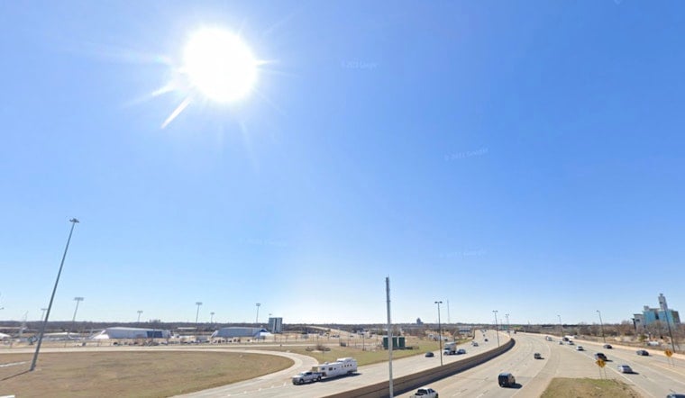
Clear skies and sticky humidity greet Oklahoma City on Tuesday, July 14, 2026, as the day gets going. Will Rogers World Airport (KOKC) checked in at about 71°F at 5:35 a.m. CDT, and the forecast is calling for a mostly sunny day with a high near 89°F. Isolated afternoon showers or thunderstorms are on the table through Friday, although most of the metro is expected to stay dry, with overnight lows dipping into the low 70s before a late-week warm-up kicks in.
Afternoon Storm Risk
Spotty storms, mainly in the afternoon, are most likely across southern and southeast parts of the metro. A few cells could bring gusty winds, small hail and brief heavy downpours. Most of the activity is expected after midday and should taper off after sunset, so late-day outdoor plans could get interrupted by sudden lightning or a quick drenching. Those timing and threat details come from the National Weather Service in Norman.
Heat Help And Tips
Humidity will make it feel hotter than the thermometer suggests, even while daytime highs run near or a bit below normal through midweek. Heat indices could climb into the mid to upper 90s by the weekend. If you need a break from the heat, you can call 2-1-1 or visit the City of Oklahoma City’s Extreme Heat page for cooling-center locations and local resources. It is a good idea to limit strenuous outdoor activity during peak afternoon hours and keep plenty of water close by for children, pets and anyone working outside.
Late-Week Warm-Up
An upper-level pattern shift combined with a turn to southerly winds will send temperatures climbing later in the week. Highs are expected to reach the mid to upper 90s on Saturday and Sunday, July 18–19, with readings near 99°F possible on Monday, July 20, 2026, as rain chances drop while the ridge builds. If you have outdoor events lined up this weekend, keep an eye on the forecast and consider moving the heaviest activities into the morning hours.





