

























































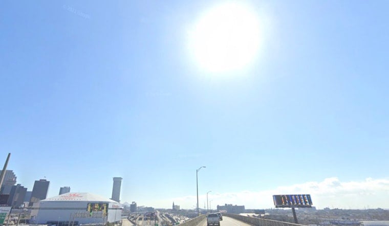
New Orleans woke up on the sticky side of summer Thursday, July 16, 2026, with clear skies, thick humidity and the Lakefront observation site at KNEW clocking in around 81°F at 5:40 a.m. CDT. The thermometer is set to climb into the low 90s, but it will feel hotter than that, with heat-index values expected to push close to 105°F this afternoon. With light west winds keeping most of the metro on the dry side, shade, water and a healthy respect for the sun are your best friends if you have to be outside.
Afternoon Heat And What To Expect
According to the National Weather Service, Thursday's high should land near 93°F, with heat-index readings up to about 105°F and west winds generally holding around 0 to 5 mph through the afternoon. Forecasters say a relatively drier pattern will hang on into the weekend, but rising humidity and temperatures could nudge heat-index values toward official advisory criteria starting Friday, with highs trending into the mid 90s by Sunday and nighttime lows hovering near 79°F. Rain chances stay on the low side, with only a slight shot at isolated, late-evening pop-up showers that are not expected to be widespread.
Heat Relief And Safety
If you are without reliable air conditioning, the city maintains cooling resources and guidance for heat relief, and officials advise checking local options and hours before you go. For a list of staffed cooling centers, libraries and recreation facilities, see the city's NOLA Ready heat page for locations and tips. Basic safety still goes a long way in this kind of heat: drink plenty of water, avoid strenuous work during the mid-afternoon peak, and check on neighbors or relatives who might have trouble staying cool. NOLA Ready
Plan Ahead For Outdoor Time
Outdoor workers and anyone planning long hours outside should shift heavier tasks into the early morning or evening, and build in frequent cool-down breaks in the shade or in air conditioning. If you are headed to the lakefront or marshes, the light winds should keep conditions generally calm, but any late-day storm that pops up could deliver brief gusts, so it is worth keeping an eye on short-term radar. Smaller events and patio plans should be comfortable enough earlier in the day, but the hottest stretch will run roughly from 1 to 6 p.m., so adjusting schedules around that window will make the heat a little easier to handle.




