

























































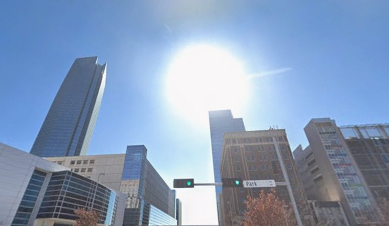
Oklahoma City is waking up to clear skies, thick humidity, and temperatures hovering near 72°F at Will Rogers World Airport. This afternoon is set to sizzle, with a high near 94°F and heat‑index values pushing around 100°F. A few isolated showers and thunderstorms could pop up after 1 p.m., but most of the metro is expected to stay dry.
Afternoon Thunderstorms a Long Shot
Spotty storms may bubble up with daytime heating mainly after 1 p.m., but they will be few and far between. Forecasters put the rain chance at roughly 15–20%, so any downpours that do develop should be brief, though they could still bring lightning and heavy rain. South‑southwest winds around 6–9 mph will help keep the humidity elevated through the afternoon, according to the National Weather Service.
Heat Cranks Up Into Next Week
The thermostat keeps climbing Monday, with highs near 98°F, and the city is forecast to push into the low 100s (around 103°F) by Tuesday. Heat‑index values could land in the low 100s to around 105 in spots, and the National Weather Service notes that a Heat Advisory will likely be needed for much of the area on Tuesday. Expect hot, sticky afternoons and slightly cooler but still muggy nights through midweek, so it may be time to rethink any big outdoor plans.
Local Relief and Safety Tips
If you have to be outside, try to avoid strenuous activity during the hottest part of the afternoon, drink plenty of water, and take frequent breaks in air‑conditioned spaces. The City of Oklahoma City keeps an updated list of heat resources, including pools, spraygrounds, and cooling options for residents. If you or someone you care for needs a cool place to go, call 2‑1‑1 for local assistance.
More From Hoodline
We’ve been tracking this stubborn heat pattern for a while now, so for background check out our triple‑digit heat preview. We’ll post updates if the National Weather Service issues an official Heat Advisory for the metro.





