

























































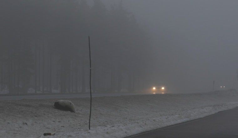
Oklahoma City gets a little bit of everything Wednesday, July 15. The morning starts warm and sticky, with clear skies, muggy air and temperatures sitting near 72°F at Will Rogers World Airport. Patchy fog could slow down the early commute in spots, but it should lift as the sun gets to work. By afternoon, expect mostly sunny skies and a high near 89°F, with a round of scattered showers and thunderstorms trying to muscle in later in the day. The main window for storms runs from about 1 to 4 p.m., and any stronger cells could briefly kick up gusty winds or small hail. Overnight lows will drop back into the low 70s.
Afternoon Storms Possible
The National Weather Service keeps rain chances at around 30% for Wednesday afternoon across the metro, with the best odds east of I-35. Most spots that see rain should only pick up around a tenth to a quarter of an inch, but forecasters note that a few storms could briefly turn strong, bringing gusty winds and small hail during the early afternoon peak. South-southeast winds stay on the light side through the day before picking up modestly overnight as the storm threat fades.
Where To Cool Off
Looking to cool down later in the week? Oklahoma City Parks runs family aquatic centers and 16 spraygrounds across the metro, with schedules and locations listed on the city's pools page. City pools, including the Will Rogers Family Aquatic Center and the Northeast Community Pool, are on summer hours through early August and offer a quick escape from the worst of the heat. For exact hours and any weather-related closures, check the city's site: City of Oklahoma City Pools.
Heat Builds Into The Weekend
Forecast models show an upper-level ridge strengthening over the Plains, sending highs into the mid to upper 90s on Saturday and Sunday and bringing triple-digit readings back by Monday, July 20. The National Weather Service notes that the ridge will keep widespread rain chances on the low side, so real cooling relief looks spotty until at least the middle of next week. If you have outdoor plans this weekend, aim for mornings or evenings and keep water and shade handy for kids, pets and older adults.
We flagged the trend toward hotter conditions in our July 9 coverage of how Oklahoma City sizzles, and we will update readers if storm timing or heat impacts change through the weekend.





