

























































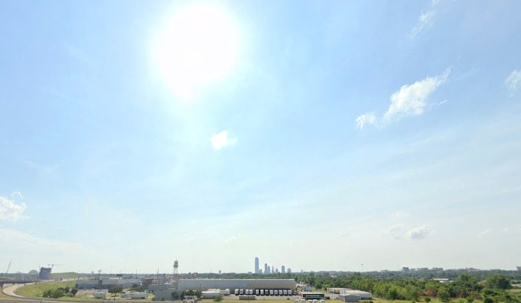
Oklahoma City started Tuesday, July 21, 2026, on a deceptively pleasant note, with clear skies and mid 70s at daybreak. By afternoon, though, the city is expected to feel like an oven, with highs near 105°F and heat index readings well above 110°F. The most dangerous stretch will hit this afternoon into early evening, when extended time outside becomes risky for anyone without reliable air conditioning. Outdoor workers, athletes and anyone planning afternoon events are being urged to shift heavy activity to cooler hours and take frequent water breaks.
The National Weather Service in Norman has issued an Extreme Heat Warning for the Oklahoma City metro from noon to 8 p.m. CDT Tuesday, July 21, 2026, citing forecast air temperatures of 105 to 108°F and heat indices that could reach 115°F, according to the National Weather Service. Officials advise staying in air conditioned spaces, drinking plenty of fluids and checking on elderly neighbors and young children. They are also repeating a familiar warning for days like this: never leave children or pets unattended in parked vehicles, not even for a quick errand.
Afternoon Heat And Commute
The worst of the heat is expected to overlap with the afternoon commute and early evening, roughly from noon through 8 p.m., so sidewalks, playground equipment and transit stops will be far hotter than the thermometer alone suggests. Light winds will offer little relief, and car interiors and blacktop surfaces can reach dangerous temperatures in minutes. If you have to be outside, officials recommend taking frequent shade breaks, drinking water often and moving the toughest tasks into the morning or later in the evening.
Where To Cool Off
Residents who need a cool place to ride out the afternoon can call 211 or use the City of Oklahoma City's list of cooling resources and heat safety tips, which City of Oklahoma City provides online. Libraries, community centers and utility "Cool Zones" often serve as air conditioned refuges during extreme heat, so anyone without dependable home cooling is encouraged to make a plan now to get to a public space. Nonprofits and shelters may also coordinate water and short term relief for people who are especially vulnerable to the heat.
Looking Ahead
The brutal heat is not expected to pack up after Tuesday. Dangerous conditions are likely to linger through early next week, with only a brief dip into the upper 90s on Wednesday before triple digit afternoons are forecast to return later in the week. There is a slight chance of isolated afternoon storms Friday and Saturday, but forecasters say widespread relief is unlikely. Residents are being urged to keep following local forecasts and to postpone nonessential outdoor activity during the hottest parts of the day.
For real time updates, officials recommend checking the National Weather Service and city resources before heading out. If you or someone around you shows possible signs of heat illness, including dizziness, weakness, nausea or confusion, move to a cool place as quickly as possible and seek medical attention.





