

























































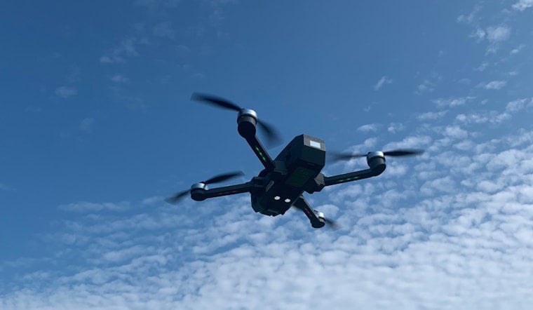
Oklahoma is adding a vertical dimension to its famously data-rich weather network, sending autonomous drones through a slice of the atmosphere that forecasters have historically seen only in limited snapshots. The Oklahoma 3D Mesonet, unveiled Thursday near Washington, is designed to deliver more frequent readings on temperature, humidity and wind above the ground. In a state where a quiet-looking sky can turn into a warning map in a hurry, the extra eyes are aimed at the moments that matter most.
The Oklahoma Climatological Survey introduced the system at the Kessler Atmospheric and Ecological Field Station, a 360-acre University of Oklahoma research site also known as Kessler Farm. The Journal Record reported that the project combines the state’s established surface-monitoring network with drone-based observations intended to support forecasting, agriculture, aviation, emergency management, energy and research.
Oklahoma’s original Mesonet has operated since 1994 and now includes 120 automated stations, with at least one in every county. Those stations send quality-assured observations every five minutes, according to the Oklahoma Climatological Survey, giving the new 3D system a broad ground-level foundation to build on.
The Missing Weather Data Above The Towers
The drones are designed to sample the atmospheric boundary layer, described at the launch as extending from roughly 50 to 20,000 feet above ground. That is the part of the atmosphere closest to where people live and work, but it can change rapidly as temperatures, winds and moisture shift through the day.
For decades, the National Weather Service has leaned on weather balloons launched twice daily, along with tower-based observations. The Journal Record reported that drones can be deployed several times a day instead, creating a more detailed picture of conditions that can help forecasters assess thunderstorms, damaging winds, snow and sleet before those threats fully develop.
The national effort gained momentum through a partnership involving NOAA’s National Mesonet Program and Swiss weather technology company Meteomatics. During a pilot conducted from January through April, Meteomatics said its drones completed more than 450 routine flights in Oklahoma and collected high-resolution profiles of temperature, humidity and wind in the lower atmosphere.
From Oklahoma Test Site To National Forecasting Tool
The Oklahoma project is the product of years of university, government and private-sector research rather than a gadget suddenly dropped onto a farm. A presentation by researchers from the University of Oklahoma, Oklahoma State University, NOAA and the National Weather Service described 3D Mesonet work dating back to field experiments in 2014, with potential applications ranging from severe-weather nowcasting to wildfire smoke, agriculture and wind-energy planning.
Meteomatics said the next phase of its NOAA collaboration runs through August and is focused on scaling operations and integrating drone observations more deeply into forecasting systems. The goal is not to replace Oklahoma’s familiar tower network, but to fill in the vertical gaps above it—because sometimes the forecast problem is not that meteorologists lack data, but that the most important data is floating overhead.





