

























































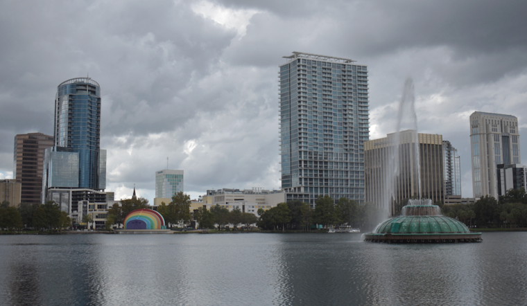
Sunday, July 26, 2026 - Orlando woke up warm and sticky, with early morning temperatures already in the upper 70s. Forecasters expect the heat to ramp up fast, with highs near 95°F and heat-index values pushing as high as 106°F. A sea-breeze collision this afternoon is set to fire up scattered storms, so those peak heat hours are likely to be interrupted by pop-up downpours and frequent lightning from early afternoon into the evening.
Afternoon Storms Pack Rain, Lightning And Gusty Winds
Showers and thunderstorms are most likely from midday through this evening, with rain chances hovering around 70 percent and the greatest coverage expected between about 1 and 7 p.m. Most storms will wring out only a few tenths of an inch of rain, but the National Weather Service in Melbourne warns that slower-moving cells could dump 2 to 5 inches in spots and trigger minor flooding. A few stronger storms could also kick out damaging wind gusts up to 50 to 60 mph. For a deeper dive into the timing and storm setup, see the latest discussion from the National Weather Service.
Heat Sticks Around Through Next Week
The steam is not a one-day affair. High temperatures are expected to hold in the low-to-mid 90s through early next week, with afternoon heat-index values routinely topping 100°F and often landing between 102 and 107°F. A few inland neighborhoods could creep toward Heat Advisory territory around 108 to 110°F. Try to schedule strenuous outdoor work for the morning or later in the evening, drink plenty of water, and grab breaks in air-conditioning when you can. It is also a good idea to check on neighbors or anyone who may not have reliable cooling.
Stormy Commute Could Snarl Roads And Events
Drivers should plan for slower afternoon and evening travel. Brief but intense downpours can quickly cut visibility and leave standing water on local roads. Event organizers and outdoor venues will want a quick shelter plan ready from early afternoon through late evening in case storms roll in faster than expected. If you are flying or heading to a major event, keep an eye on carrier alerts and venue updates; terminals and ground crews often flag storm impacts in routine advisories.
We covered Saturday’s heat and storm setup in more detail; for background on how the pattern is evolving, see how Saturday set the stage. We will share updates if any watches or warnings are issued later today.





