

























































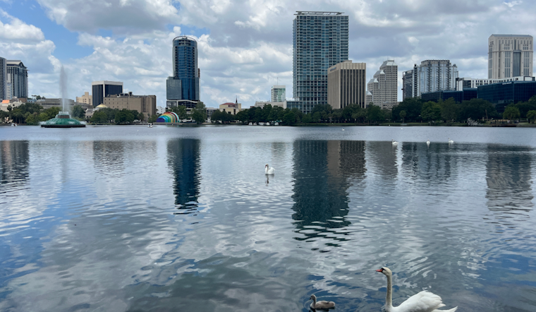
Orlando rolled into Saturday, July 25, 2026, under clear, soupy skies, with temperatures already in the low 80s and humidity cranking up how hot it feels. The afternoon will be a scorcher, with the high expected to reach near 96°F and heat-index readings pushing into the triple digits. After about 2 p.m., sea-breeze collisions are expected to fire up showers and thunderstorms, so the hottest part of the day could arrive right as things turn stormy and even more uncomfortable.
Heat Advisory And Timing
A Heat Advisory is in effect from noon to 7:00 PM EDT on Saturday, July 25, 2026 for Volusia, Brevard, Lake, Orange and Seminole counties, with heat-index values potentially reaching 108–109°F. Officials warn that the midday to early evening hours will be the most dangerous for heat-related illness. Drink plenty of fluids, stay in an air-conditioned room, stay out of the sun, and check up on relatives and neighbors, according to NWS Melbourne.
Afternoon Storms And Impacts
After about 2 p.m. Saturday, sea-breeze collisions are expected to trigger scattered thunderstorms. Most should be short-lived, but slower-moving storms can dump heavy rain, produce frequent lightning, and kick up sudden wind gusts that may top 40–55 mph in spots. The mix of extreme heat with brief, intense downpours can make driving tricky and may lead to localized flash flooding. Orange County maintains a list of cooling locations and transit assistance during heat events; see where to find shelter and transit help for details.
Looking Ahead
The hot, humid setup is expected to hang around into next week, with highs in the low-to-mid 90s and daily chances for late-day storms. Peak afternoon heat-index readings will regularly push into the low 100s, and more Heat Advisories are possible if temperatures and humidity creep higher. Planning outdoor plans for early morning or evening and keeping water and an air-conditioned backup is the safest play.





_-_5_(cropped).JPG)