

























































Orlando rolled into Saturday, July 11, 2026, already sweating, and the main story is the heat. A Heat Advisory is in effect for east-central Florida from 11 a.m. to 7 p.m., with afternoon highs near 97°F and only brief overnight relief. Lows will hang in the upper 70s, so there is not much cooldown after sunset. Residents are urged to limit strenuous outdoor activity and to check on neighbors, pets, and older adults during the hottest hours.
The day starts mostly clear, then turns hot and sunny with a chance of showers and thunderstorms after 2 p.m. The official forecast calls for a high near 97°F, slipping into the low 90s by late afternoon. Heat index values could reach around 105-110°F in some spots, increasing the risk of heat illness for anyone working or exercising outdoors, according to NWS Melbourne. New rainfall totals should stay light, roughly a tenth to a quarter of an inch, but any slow-moving storm could dump heavier rain in a short burst.
Afternoon Storms And The Commute
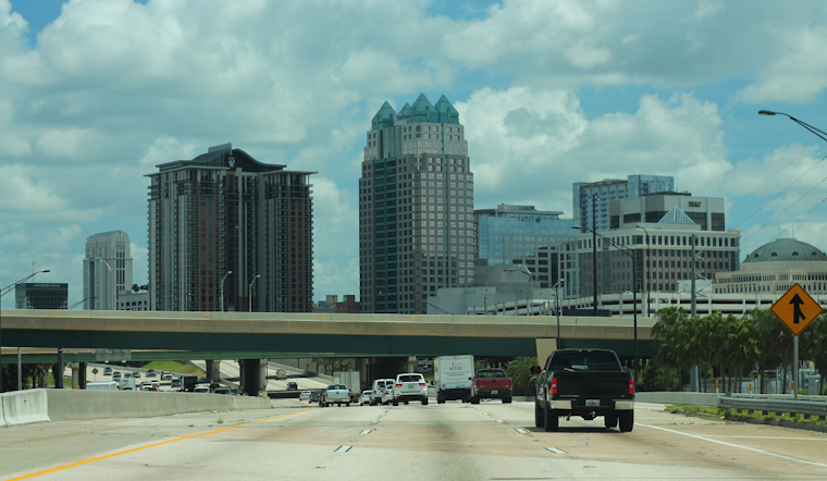
Colliding sea breezes will fire up scattered showers and storms mainly in the afternoon and early evening, with most of the action focused inland and along the I-4 corridor. Any storm that pops could bring frequent lightning, brief torrential downpours, and wind gusts around 50-55 mph, which is more than enough to trigger sudden slowdowns and slick pavement for the evening commute. Activity should wind down after dark, although a few stubborn storms could linger overnight.
Where To Cool Off
For anyone who needs a break from the heat, Orange County keeps a directory of cooling locations, including libraries, community centers, parks, and shelters, and has lowered its activation threshold so transit assistance kicks in sooner. According to Orange County, when the heat index hits 103°F, LYNX will offer free rides to designated cooling sites, and many county facilities are open during regular hours for anyone who needs air conditioning. If you or someone you know does not have access to a cool indoor space, it is worth making a plan now to get inside during the advisory hours.
Into Next Week
The pattern does not change much heading into early next week. Hot, humid conditions are expected to stick around, with highs generally in the mid 90s and a daily chance of late-day showers and storms, so additional Heat Advisories are on the table. Overnight lows will stay muggy in the 70s, keeping nighttime relief limited. Keep water handy, plan for shade, and have an indoor backup ready for any outdoor plans over the next few days.





.jpg)