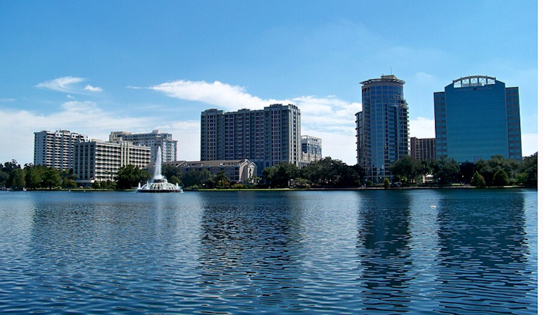
Orlando woke up to mostly clear skies, thick humidity and that swampy summer feel on Sunday morning, July 5, 2026, with temperatures around 79°F and dew points in the low 70s. The metro is headed for a hot afternoon, with highs near 92°F, as deep moisture and a sea breeze collision fire up scattered to numerous showers and thunderstorms. Storm coverage should peak in the late afternoon and early evening, so it is smart to have an indoor backup for any outdoor plans. Expect pockets of heavy rain and frequent lightning, and be ready for slow moving cells that could trigger brief street flooding and gusty winds.
Afternoon Thunderstorms
Showers and thunderstorms are most likely after 1 p.m. Sunday, July 5, 2026, with the most widespread activity expected roughly between 4 p.m. and 8 p.m. The chance of precipitation sits at about 60%, and stronger storms could drop a quarter to a half inch of rain. Isolated stronger storms may pack frequent lightning and damaging wind gusts in the 45–55 mph range, creating a short lived hazard for vehicles, tents and outdoor work, according to the National Weather Service in Melbourne.
Heat And Cooling Options
Away from the storms, it will stay hot and sticky, with heat index values potentially reaching 100–105°F this afternoon as highs climb into the low 90s. Orange County operates cooling locations and, when thresholds are met, offers free LYNX rides to designated sites. You can find the full list of locations and how the program works in our earlier coverage on cooling centers and free rides.
Beaches And Rip Currents
The National Weather Service has issued a Moderate rip current risk for local beaches today and is urging caution: "Always swim near a lifeguard and never swim alone." Strong onshore flow and choppy surf around storms can make conditions hazardous, so check posted flags and listen to lifeguard guidance before heading into the water, per the National Weather Service in Melbourne.
Plan For The Commute
Late-day storms could slow the evening commute between about 4 p.m. and 8 p.m., with pockets of poor visibility and standing water on urban streets. If you are driving, ease off the gas in heavy rain, avoid flooded roadways, and give emergency crews room to work if trees or power lines are knocked down by gusty winds.
We will update this post if watches or warnings are issued; follow local officials and the National Weather Service for the latest changes.


