

























































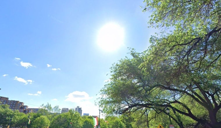
Philadelphia woke up Thursday, July 16, 2026, to a double punch of summer misery: hazy skies from Canadian wildfire smoke and temperatures already pushing toward 80°F before breakfast. A Heat Advisory is in effect from noon to 8 p.m. for parts of the I-95 urban corridor, and officials warn that air quality could creep into unhealthy territory as the day wears on. Expect a hot, sticky afternoon with scattered storms that may briefly knock down visibility and make it a rough one for anyone sensitive to heat or bad air.
What To Expect Today
Thermometers are headed for the mid 90s, with many neighborhoods topping out near 96°F and heat index values close to 100°F this afternoon. Winds will run out of the southwest at about 0 to 15 mph, with some gusts possibly reaching around 30 mph later in the day.
Showers and thunderstorms will be hit or miss. Isolated showers are most likely between about 3 and 5 p.m., with scattered storms possible into the evening. Most spots will see only light rainfall, if anything, even if a storm pops overhead.
Air Quality And Visibility
The Pennsylvania Department of Environmental Protection has called a Code Red Air Quality Action Day for fine particulate pollution through midnight Thursday, thanks to wildfire smoke drifting into the region. The haze may knock visibility down to MVFR, with occasional IFR conditions in localized areas.
People with asthma, COPD, heart disease, older adults, children and anyone who works outside are urged to limit long or heavy exertion, according to the National Weather Service Mount Holly. Drivers should be ready for sudden drops in visibility on area highways if thicker smoke or a heavier storm cell moves through.
Cooling Centers And Safety
The city continues to operate cooling resources and offers hot-weather guidance for residents who do not have air conditioning, with details covered in earlier reporting. If you have to be outside, try to move strenuous chores to the morning or later in the evening, drink water frequently, and never leave children or pets in a parked car, even briefly.
For information on cooling center locations and detailed tips on handling the heat, see Philly set to sizzle.
Weekend Outlook
Saturday, July 18, brings the bigger rain and storm threat. Showers and thunderstorms are likely, with a 70 to 90 percent chance in many areas and pockets of about 0.5 to 0.75 inches of rain possible. That raises the risk of localized flash flooding, especially where heavier cells repeat over the same neighborhoods.
Forecasters also flag a conditional risk for severe thunderstorms Saturday evening. The National Weather Service advises keeping an eye on hourly updates and having an indoor backup plan if you are hosting or attending outdoor events.
By Sunday, July 19, conditions should trend drier, with more manageable highs in the mid 80s.




