

























































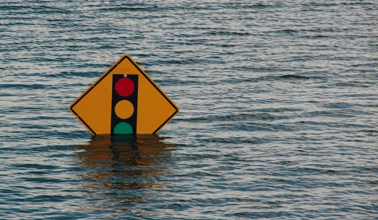
Philadelphia is staring down another volatile round of summer storms on Tuesday, with forecasters warning of strong thunderstorms that could pack damaging straight-line winds, blinding downpours and quick-hitting flash flooding right as people are heading home from work.
Storms are expected to arrive in scattered clusters that may beef up in intensity through the afternoon and into the evening, setting up a messy stretch for anyone out on the roads.
The NBC10 First Alert Weather team urged viewers Monday to track radar closely and be ready for conditions that can flip from quiet to dangerous in a hurry, noting that storm cells could organize into lines capable of frequent lightning and strong gusts, according to NBC10 Philadelphia. The station also advised having multiple ways to get alerts and to avoid driving through standing water.
What the National Weather Service says
The National Weather Service's Mount Holly office issued a Hazardous Weather Outlook on Monday stating that "Severe thunderstorms and flooding are possible Tuesday and Wednesday," according to the National Weather Service. The local forecast for Philadelphia calls for a chance of showers and thunderstorms Tuesday, with showers likely Tuesday night, which places the main window for the stronger storms in the afternoon and evening.
A National Weather Service forecast map notes a roughly 40% probability of storms during the daytime period on Tuesday.
Main hazards to expect
Forecasters say the big-ticket threats are damaging wind gusts, frequent lightning and intense, slow-moving downpours that can trigger urban flash flooding and rapid street runoff. AccuWeather meteorologists tie this setup to a broader summertime pattern of moist, unstable air that will keep rounds of heavy, flood-producing downpours in play through the week, especially where storms repeatedly track over the same neighborhoods (AccuWeather).
The tornado threat is considered low for most locations, but any organized line of storms could still produce locally damaging winds.
Why this matters for Philly
The timing and intensity of this week's storms are especially concerning because parts of the city are still recovering from earlier rounds of severe weather. Recent microburst winds have already taken down trees, cut power and left the ground saturated, a combination that can worsen flash flooding, city officials note.
Mayor Cherelle Parker declared a disaster emergency after a mid-July storm that produced straight-line wind gusts of 60 to 70 mph in parts of West and South Philadelphia, and city crews are still focused on clearing debris and restoring services, according to the City of Philadelphia.
How to prepare
Residents are urged to treat Tuesday like a day when the power might go out and the streets might flood, even if conditions ultimately fall short of worst-case scenarios.
Practical steps include:
- Charge phones and portable batteries in advance.
- Secure loose outdoor furniture or items that could become projectiles in strong winds.
- Move vehicles off low-lying streets that tend to collect water.
Never drive into flooded roadways, and remember the safety mantra "Turn Around, Don't Drown." If severe-weather warnings are issued, seek sturdy shelter away from windows.
Keep an eye on local forecast updates and consider adjusting travel plans if your route runs through low-lying or flood-prone areas. Stay tuned to your preferred weather app and local media for radar and warning notices, and if conditions deteriorate Tuesday afternoon or evening, treat any warnings as immediate instructions to take shelter.




