

























































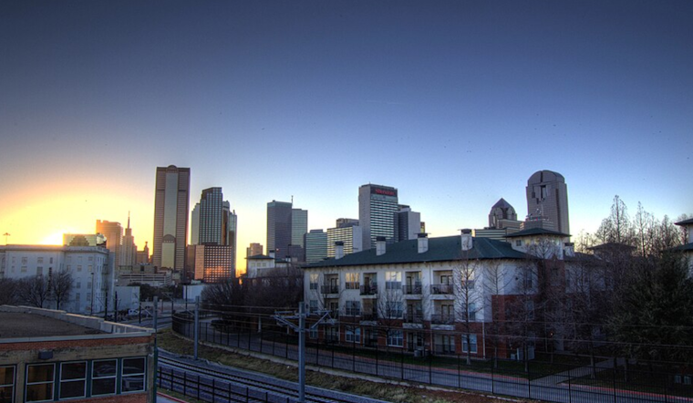
Dallas woke up this morning to clear skies, soupy humidity and temps around 81°F, with dew points parked in the low 70s. It will feel like a classic North Texas summer by afternoon, with highs near 95°F, but the calm start will not last. Scattered showers and thunderstorms are expected to bubble up through the day, and where storms form and stall, brief torrents could wash out outdoor plans and quickly flood low-lying streets.
Afternoon Storms And Flash Flood Risk
Forecasters say scattered showers and thunderstorms are most likely from late morning into the evening, with the bullseye for activity during the hottest part of the afternoon. The National Weather Service Fort Worth notes that some storms could unload very heavy rain, on the order of 2–3 inches per hour in spots. Weak steering winds may allow individual cells to park over one area, which pushes up the risk of localized flash flooding. Overall storm chances sit near 50% for the city today, and where rain repeats, smaller streets and underpasses could become impassable in a hurry.
Timing, Heat, And The Week Ahead
The first showers could pop after 7 a.m., with additional development through the afternoon and possibly into the evening hours. Heat index values are expected to peak around 100°F this afternoon, while overnight lows hang in the mid-70s, offering little relief for anyone without air conditioning. Scattered storms may linger through Tuesday, then rain chances dip, and highs climb back into the upper 90s late in the week.
How To Stay Safe
If you do not have air conditioning, the City of Dallas Office of Emergency Management lists public cooling centers along with library and recreation options that can help you beat the heat. On the roads, never drive into standing water, turn around, do not drown, and be ready for sudden drops in visibility during the heaviest downpours. Keep an eye on local forecasts and consider shifting outdoor plans away from the peak heat and the most active storm window this afternoon and evening.





