

























































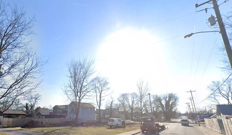
San Antonio started the workweek Monday, July 20, 2026, with muggy, partly cloudy skies and temperatures already in the mid 70s. By this afternoon, the high is expected to reach around 96°F, with the heat index climbing to about 101°F. That combination will turn any extended time outside into a sweaty, potentially risky affair. South winds stay light near 5 mph and tonight will not offer much relief, with lows holding near 73°F. Hot afternoons are lined up back to back into midweek as highs push toward the upper 90s by Wednesday.
What To Expect
Through Wednesday, the pattern is locked in: mostly sunny, dry and hot. Highs should land near 96°F on Tuesday and close to 98°F on Wednesday. During the mid to late afternoon, heat index values are expected to hover around or just above 100°F, which is where heat becomes more than just uncomfortable and starts flirting with dangerous.
Forecasters are also keeping a close eye on Tropical Depression Two in the northeastern Gulf. The NWS Austin/San Antonio notes that the system could approach the Texas coast sometime Thursday or Friday, although both timing and impacts are still very uncertain. If the storm wobbles west late in the week, it could boost rain chances along the coast and raise the risk for localized flooding.
Heat Safety
Health officials and first responders tend to say the same thing this time of year for a reason. Avoid strenuous outdoor work during the hottest stretch of the day, roughly 1 to 5 p.m. Drink water early and often. Check on older neighbors, young children and anyone without reliable air conditioning, and do not forget pets stuck outside or in parked cars.
The City of San Antonio maintains an updated roster of public cooling locations for residents and people experiencing homelessness. Check the latest City of San Antonio information for cooling site locations and hours. If you or someone nearby starts feeling dizzy, nauseous, confused or faint, move to a cooler place immediately and seek medical care.
Flooding Update
River and creek levels around the region have generally eased after the earlier July flooding, but the story is not completely over yet. Forecasters warn that isolated rises are still possible along parts of the Nueces, Frio and Rio Grande basins. As always, do not drive through flooded roadways or low water crossings, even if the water looks shallow or the route is familiar.
Keep an eye on updated forecasts later in the week in case the tropical system increases rain chances or prompts additional localized advisories. For now, the main concern across San Antonio is the heat, and plenty of it.





