

























































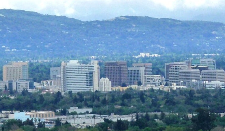
San Jose is waking up mostly cloudy and around 68°F at San Jose Mineta (KSJC) today, with mid-level monsoon clouds sliding overhead and a warmup already in play. Inland neighborhoods are expected to climb into the upper 80s to around 90°F this afternoon, with tomorrow pushing into the low 90s before a cooler pattern drifts back in later in the week. There is a low chance of high-based thunderstorms through tomorrow, which could produce lightning with very little rain. Along the coast, minor high-tide flooding is possible through Thursday morning.
Forecasters at the NWS Bay Area expect highs near 90°F today and about 91°F tomorrow, followed by a gradual cooldown beginning on Thursday. Northwest afternoon winds should strengthen in the usual gap corridors, with gusts up to 20 mph possible tomorrow afternoon. The NWS also has Coastal Flood Advisories posted through the early hours of Thursday, and marine officials have issued Small Craft Advisories for parts of the northern outer waters midweek.
Afternoon Heat And Gap Winds
Inland spots will take the brunt of the heat, while cool onshore breezes keep shoreline temperatures noticeably lower. Afternoon northwest winds will crank up in the hills and through the valley gaps, so expect breezy, gusty conditions by midafternoon tomorrow. If you have outdoor work lined up, aim for morning hours and keep the water bottle close if you are stuck outside during the afternoon peak.
Thunder Chances And Fire Concerns
The same monsoon flow bringing those mid-level clouds is also delivering a low, localized chance for high-based thunderstorms through tomorrow, but most neighborhoods will see nothing more than a dramatic sunset or a passing cloud burst. Because much of the moisture is stacked higher in the atmosphere rather than at the surface, lightning could strike without much measurable rainfall, which raises wildfire concerns. Skip parking over dry grass and report any smoke to local authorities right away. If you live or work near wildland-urban interfaces, this is a good time to double-check irrigation systems and defensible space plans.
High Tides And Rougher Seas
Nighttime high tides, boosted by a long-period swell, could push water into low-lying parking lots, parks and shoreline roads through Thursday morning. Expect short detours near the water and respect barricades when you see them. Small craft operators should heed the posted advisories midweek and secure loose gear before seas build. If you encounter flooded roads, turn around and avoid driving through standing water.
Looking Ahead
We first highlighted the monsoon influence in an early July heat alert, and today’s update largely confirms the warmer inland trend and ongoing shoreline watches. Check forecasts before evening plans and leave extra time for shoreline commutes or events along the water.
Plan on the warmest conditions through Wednesday, with a cooling pattern settling in by late Thursday. We will continue to track advisories and share updates as they change, and residents should keep an eye on official NWS products for any adjustments.





