

























































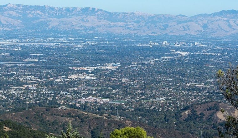
San Jose started today under a low gray ceiling, with the airport reporting about 63°F and a muggy feel to the air. As the morning wears on and temperatures climb, that low cloud deck is expected to retreat back toward the coast, leaving most neighborhoods with a mostly sunny afternoon and highs near 80°F. Onshore breezes should strengthen noticeably later in the day, and temperatures will drop a few degrees in the late afternoon. Nights stay on the cool side, dipping into the upper 50s.
Afternoon Winds Pick Up
By late morning, north-northwest winds are forecast to ramp up, with sustained speeds around 5 to 12 mph and gusts in the 20 to 25 mph range. That is strong enough to rattle patio furniture and make a bike ride home feel like a workout. Forecasters expect the punchiest winds from late morning until this afternoon.
Marine And Beach Conditions
Out on the water, small craft advisories remain in effect for Monterey Bay and portions of the nearby coastal waters through Friday night, bringing choppy seas and higher surf that could catch smaller boats off guard. Boaters are advised to steer clear of exposed areas, and swimmers should stick close to lifeguard-supervised zones. See the NWS marine forecast for details on which zones and hours are affected and for guidance on sea conditions.
Weekend Outlook
Looking ahead, inland temperatures are expected to trend a bit warmer over the weekend, with several days of low 80s expected away from the coast. Persistent onshore breezes should keep shoreline neighborhoods cooler. Morning and nighttime low clouds or spotty drizzle remain in play near the coast through the weekend, so if you are planning a backyard gathering or a park hangout, the afternoon hours are the best bet for sunnier and more comfortable weather in most spots.





