

























































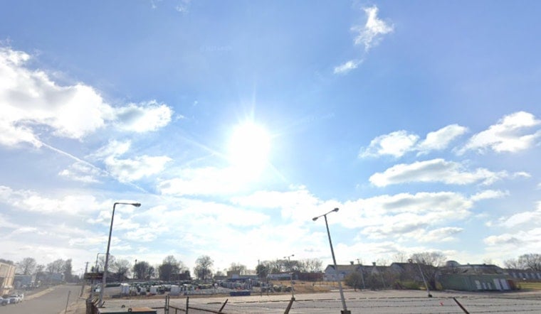
Seattle woke up Tuesday, July 21, clear and mild at about 66°F, but that calm start is not sticking around for long. A midweek heat surge is on the way, and the National Weather Service has issued a Heat Advisory for much of the city from 10 AM on Tuesday, July 21, through 11 PM on Wednesday, July 22, with inland neighborhoods expected to feel the hottest.
Heat Advisory And What To Expect
The advisory covers central, eastern and foothill neighborhoods where highs are forecast in the upper 80s to low 90s (roughly 88–91°F), with overnight lows stuck in the mid-60s and not offering much in the way of cooling off. Light north-to-northwest winds are expected in the afternoons, and the mix of hot days and warm nights raises the risk of heat-related illness, particularly for older adults, infants and people without air conditioning.
Patchy smoke aloft is possible today, with forecasters expecting most of the haze to remain elevated over the region. Even so, some localized smoke could still creep into valleys and cut visibility. According to NWS Seattle, the Heat Advisory covers the City of Seattle and nearby inland areas.
Plan Your Day
Shift outdoor work and exercise to the early morning or evening hours, drink plenty of water and take frequent shade or air-conditioned breaks during the warmest part of the day. If you need a cool place, the city lists daytime cooling resources and air-conditioned library branches on the City of Seattle heat-safety page, which includes locations and hours.
Employers and event organizers are encouraged to schedule extra rest breaks and provide easy access to water. And the familiar but crucial reminder still applies: never leave children or pets unattended in parked vehicles.
When Relief Might Arrive
Cooler air should start to move in late Wednesday and into Thursday as onshore flow increases, bringing a chance of showers Thursday morning and pushing highs back into the 70s by Thursday and Friday. That onshore push should also help clear out low-level smoke and improve overnight humidity recoveries, taking some of the edge off elevated fire-weather concerns into the weekend. According to NWS Seattle, remnants of a tropical system offshore may help drive the cooler onshore push on Thursday.





