

























































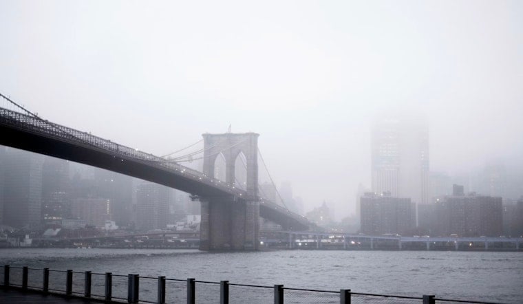
New Yorkers woke up Saturday, July 18, 2026 to hazy skies and smoke, with temperatures starting in the mid-70s as a strong frontal system approaches. That murky sunrise is just the opening act: rounds of heavy rain and thunderstorms are expected through the afternoon and evening, bringing the real threats of intense downpours, gusty winds and poor air quality. City residents should be ready for sudden flooding in low-lying spots and air that stays unhealthy for sensitive groups. Here’s what to expect and how to stay safe.
Flood Watch And Severe Storm Threat
A Flood Watch is in effect from 10 a.m. Saturday, July 18 through 2 a.m. Sunday, July 19 for New York City and nearby counties, with multiple rounds of heavy showers and thunderstorms expected. New rainfall amounts of 1–2 inches are likely, with peak hourly rates of 1.5–2 inches that can cause flash flooding in poor-drainage and urban areas; isolated higher totals are possible. Damaging wind gusts are possible and a brief tornado cannot be ruled out with the frontal passage, according to the National Weather Service.
Timing And What To Expect Today
Areas of smoke will linger through the morning, with a chance of scattered showers from about 8–11 a.m., followed by a stronger chance of showers and thunderstorms from late morning into the early afternoon. The bulk of the activity may occur between roughly 11 a.m. and 2 p.m. Highs will top out near 81°F before falling into the mid-70s, with southwest winds 6–13 mph and gusts as high as 25 mph.
Expect brief but intense downpours that can overwhelm sewers, subway grates and underpasses. Plan extra travel time for afternoon and evening commutes, and expect some slow-going if storms set up over key routes.
Air Quality And Health
An Air Quality Health Advisory for fine particulate matter (PM2.5) is in effect through Saturday night. The smoke has reduced visibility and pushed local AQI values into levels that may be unhealthy for sensitive groups. People with asthma, heart or lung disease, older adults, children and outdoor workers should limit prolonged outdoor activity and consider staying in air-conditioned, recirculated indoor spaces.
The advisory comes from the New York State Department of Environmental Conservation; see NYSDEC, and read our earlier smoke coverage.
Beaches, Boats And Getting Around
Ocean beaches have a high rip-current risk through this evening and small craft advisories are in effect offshore, so swimming where lifeguards are not present is a bad bet and fishermen should exercise caution. Short bursts of heavy rain could cause localized street flooding and slow buses and taxis. Avoid driving through standing water and build in extra time for travel if you have to be out during the storms.
City emergency management is urging New Yorkers to monitor local alerts and Notify NYC for real-time closures or road impacts; see guidance from NYC Emergency Management.
How To Prepare
Bring a waterproof layer if you are heading out and secure loose outdoor furniture so it does not become airborne in stronger gusts. If an area floods, turn around and do not drive through floodwater.
Those sensitive to smoke should keep windows closed, run air conditioning if available, and use an N95 if they must be outdoors; keep medications handy. Stay tuned to local alerts from the National Weather Service and Notify NYC for updates through the evening as storms and air quality issues evolve.





