

























































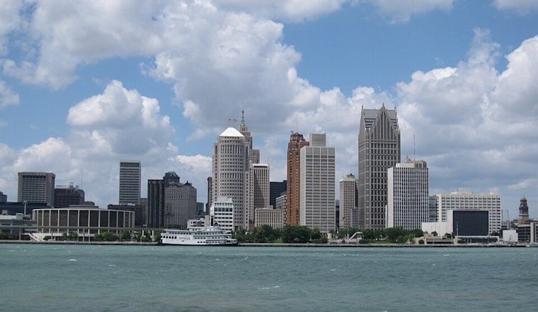
Detroit woke up under a hazy veil today, the smell of smoke hanging in the air and morning temperatures already sitting in the mid-70s. Forecasters say the real heat is still to come, with afternoon highs near 92°F and a heat index that could push close to 100°F, making outdoor work or exercise feel downright punishing. Scattered showers and thunderstorms are expected to bubble up by midday and ramp up into the early afternoon, bringing gusty winds and heavy downpours that could snarl the evening commute. An Air Quality Alert is in effect today because wildfire smoke is drifting into the region.
Air Quality and Health
State officials have issued a statewide Air Quality Alert for today due to elevated fine particulate pollution from Canadian wildfire smoke. People with respiratory or heart conditions, older adults, and children are urged to avoid prolonged or intense activity outdoors. If you absolutely have to be outside for brief periods, the state recommends using an N95 or P100 respirator, and it notes that masks are not appropriate for children under age 2.
Indoors, officials advise keeping windows closed, skipping candles or heavy cooking that can add to indoor pollution, and running air cleaners or HVAC systems with high-efficiency filters when possible. For detailed guidance and up-to-the-minute local readings, see the Michigan Department of Environment, Great Lakes, and Energy.
Afternoon Storms and Heat
A cold front sliding across southeast Michigan is expected to drive a band of showers and thunderstorms through the Detroit area, with the best shot for storms from around noon into mid-afternoon. According to the National Weather Service, there is a Marginal to Slight risk of severe storms this afternoon, with damaging straight-line winds as the main concern and local gusts around 25 to 30 mph. Brief but heavy rain could quickly slick up roads and may knock out power for more vulnerable outdoor setups.
West winds of 9 to 16 mph, with higher gusts ahead of the front, are also in the cards, so residents may want to bump outdoor events earlier in the day or move them inside and secure loose items that could blow around. For the latest forecast details and any changing conditions, check the National Weather Service.
What To Expect Next
High pressure is expected to build in on Sunday, dropping humidity levels and bringing highs back down into the low 80s, along with noticeably cleaner air for most of the region. The break will not last too long, though, as a chance of showers and storms returns Monday night into Tuesday while the weather pattern turns a bit more unsettled again.




.jpg)