

























































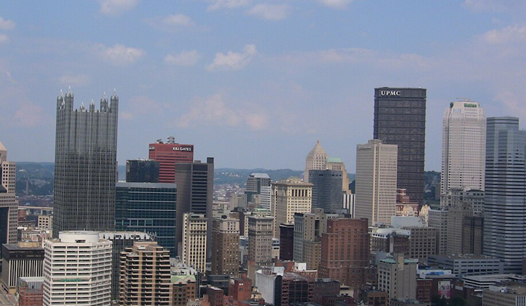
Pittsburgh woke up today to a murky start, with smoke and haze hanging over the city, temperatures in the low 70s, and visibility in spots cut to roughly two miles. State and county air-quality alerts were already in effect early, making outdoor exertion a risky move for anyone with asthma, heart disease, or other respiratory issues. Forecasters expect shifting winds and scattered showers to help scour out the smoke by midday, but the day is set to end with a much louder finale in the form of strong evening storms.
Afternoon Storms And Wind Risk
Showers and thunderstorms are likely to fire up Saturday afternoon as a cold front slides through the region. That front is expected to organize storms into a squall line that could rumble across the Pittsburgh area this evening, Saturday, July 18, 2026. According to the National Weather Service, the main severe weather window runs from about 5 p.m. to 10 p.m., with damaging straight-line winds the primary concern and pockets of heavy rain possible. In plain English, be ready for sudden gusts and brief downpours.
Power interruptions, downed branches, and messy roads are all on the table if storms hit at peak strength, so anyone with dinner plans, outdoor events, or a late commute should keep an eye on radar and alerts. For the latest briefings and timing details, follow updates from NWS Pittsburgh.
Smoke And Air Quality
A Code Purple air-quality alert issued Friday, July 17, 2026, pushed air conditions into the “very unhealthy” category in some areas and lingered into early Saturday. Allegheny County health officials report that fine particle (PM2.5) concentrations are expected to ease into the Moderate (Yellow) range by later Saturday as winds shift and showers help scrub smoke from the air. Until levels improve, people in sensitive groups are urged to limit time outside and avoid strenuous activity. Full guidance is available from Allegheny County.
Plan Ahead For Evening
If your Saturday night involves a backyard party, ballgame, or concert, consider shifting plans earlier or moving things indoors. Lightning and strong gusts may arrive with limited warning, and no one wants to sprint for cover with a plate of food in hand. Charge phones, bring pets inside, and secure loose patio furniture or decorations. Organizers of larger events should have a shelter or evacuation plan in place before the storms pop.
For context on the recent steamy, smoky stretch, see our earlier coverage of the recent heat and smoky conditions.
Bottom line, expect air quality to gradually improve around midday, but stay weather-aware. Check National Weather Service updates before heading out this evening, and be prepared for strong winds and brief heavy rain today. Anyone with asthma, heart disease, or other respiratory problems should keep medications close and avoid outdoor workouts until the smoke clears and the storms move on.



