

























































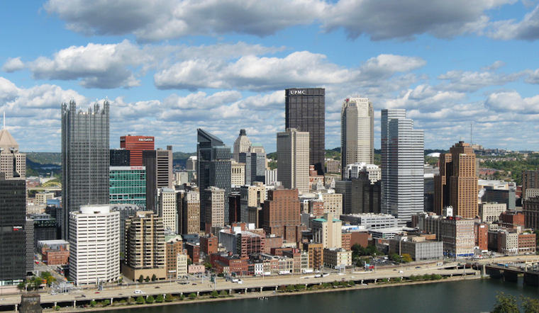
Pittsburgh rolled into Wednesday, July 15, under clear, deceptively calm skies in the low 70s. By afternoon, though, much of the city is expected to feel like a brick oven, especially in densely built neighborhoods where the heat hangs on a little too well.
Heat Advisory Today
A Heat Advisory is in effect from noon to 8 p.m. Wednesday, July 15, with a forecast high near 97°F and heat-index values potentially reaching 103, according to the National Weather Service. That mix of heat and humidity can quickly push people working or exercising outside into dangerous territory for heat-related illness.
The advisory urges residents to drink plenty of fluids, stay in air-conditioned spaces when possible, avoid direct sun, and check on relatives and neighbors. If you have to be outside, keep it short, keep it shaded, and keep the water bottle close.
Hazy Skies and Air Quality
On top of the heat, forecasters say smoke high in the atmosphere from distant wildfires will give the afternoon sky a milky, hazy look. A surge of smoke closer to the ground is possible tonight into Thursday, which could mean reduced visibility and rougher air for anyone with asthma or other respiratory issues.
If you have breathing problems, try to skip intense outdoor activity, keep windows closed when the haze thickens, and keep any prescribed medications within easy reach.
Where To Cool Off
CitiParks typically turns on cooling centers when temperatures are expected to top 90°F; earlier this summer, the city opened five centers to provide multi-day relief. Residents without air conditioning can look up current options with the City of Pittsburgh and call 2-1-1 for countywide listings.
If you plan to ride out the worst of the heat and any lingering smoke in a public cooling site, bring water and a mask.
Storms Return Late Week
Models and local forecasters expect the ridge that has kept conditions dry to weaken later in the week, opening the door for showers and thunderstorms Friday into the weekend. Some storms could bring heavy downpours and localized flooding, so keep an eye on updated forecasts before locking in outdoor plans.
Bottom line: avoid strenuous outdoor work during the noon to 6 p.m. peak heat window, drink extra fluids, check on older neighbors and pets, and stay tuned to alerts from the National Weather Service and local officials.





.jpg)