

























































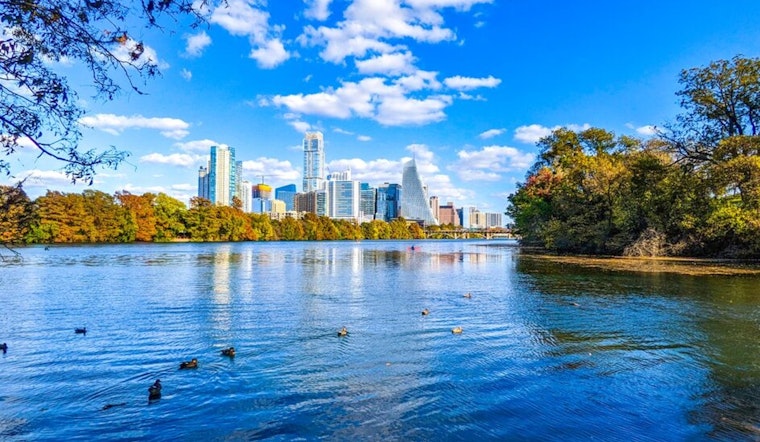
Austin rolled into Friday, July 17, already sweating, with temperatures near 78°F and dewpoints close to 77°F, turning the morning into a wall of humidity. After repeated rounds of slow-moving storms that have soaked the ground, the metro remains vulnerable to sudden street and creek flooding through Friday morning.
What To Expect Today
Most of Austin should see partly to mostly sunny skies this afternoon, with a high near 92°F and heat index values up to 102°F. South-southeast winds are expected at 5 to 10 mph, with gusts up to 20 mph. While much of the city may only pick up spotty showers, slow-moving thunderstorms to the west can still unload intense downpours and trigger localized flooding. Additional storm totals of 2 to 4 inches are possible across a broader area, with isolated higher amounts, according to the National Weather Service.
Flood Threat And Local Response
A Flood Watch is in place for parts of Travis County and surrounding areas through noon Friday, July 17, and local leaders have activated emergency plans. Mayor Kirk Watson and Travis County Judge Andy Brown have issued local disaster declarations, and the city is urging residents to sign up for WarnCentralTexas alerts and steer clear of low-water crossings. For up-to-date road closures and cooling center details, check the City of Austin.
Where Flooding Is Most Likely
The highest flash flood risk is focused on the western Hill Country and areas west of Highway 281, where soils are already saturated. River basins including the Pedernales, Guadalupe, and San Antonio have recorded moderate to major rises and may continue flooding even after the rain eases, according to the National Weather Service.
Heat And Humidity
Once the heaviest rain threat backs off for much of the metro by midday, the steaminess does not. Overnight lows are expected to hover in the mid 70s, with daytime highs in the low to mid 90s through the weekend and into next week. That mix of heat and humidity can turn outdoor work or long stretches outside into a health risk without regular breaks, plenty of water, and access to shade or air conditioning.
How To Stay Safe
Do not drive through flooded streets. Two feet of moving water can carry away a car. Make sure you have multiple ways to get warnings, such as phone alerts, local media, or WarnCentralTexas. If you are near rising water, move to higher ground, and check on neighbors who may not have cooling, transportation, or easy access to alerts.
Legal Implications
The disaster declarations allow the city and county to coordinate emergency resources, request state assistance, and limit or close public facilities if necessary. Residents should follow official instructions and be ready for local authorities to close roads and restrict access to certain areas in the interest of public safety.





