

























































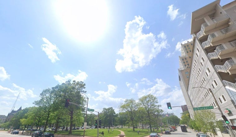
Fog and mist early Wednesday, July 15, 2026, trimmed visibility across parts of the St. Louis metro while temperatures lingered in the low 70s. The gray start should give way quickly, with skies brightening and afternoon highs headed into the low 90s. Light winds will not offer much relief, so it will feel even hotter in the more humid pockets around town.
Afternoon Storms And Heat
Scattered afternoon pop-up showers and thunderstorms are on the table each day through Friday, with the best chances south and southwest of the core metro into the Ozarks. Any storm could briefly unload heavy rain and put on a show of frequent lightning.
Daytime highs will generally top out in the upper 80s to low 90s, but the high humidity will nudge heat-index values into the 100–105°F range at times, a pattern that follows the early-July heat spike. For the most up-to-date timing and local impacts, check the National Weather Service St. Louis.
What To Do Today
During the peak heat, try to shift heavy outdoor work to the morning or evening, drink plenty of water, and take frequent breaks in the shade or air conditioning. If you do not have AC, the City of St. Louis cooling centers list is a good starting point; call 2-1-1 to confirm hours and availability.
Keep an eye on neighbors, children, and pets, never leave anyone in a parked vehicle, and watch for symptoms of heat exhaustion or heat stroke.
Week Ahead
Humidity and a steady southerly flow will keep things muggy into the weekend, with highs pushing into the mid-90s on Saturday and again early next week. Forecasters are watching a possible frontal passage later next week that could finally bring some cooler air, so stay tuned for updated forecasts and any changes to weather headlines.





