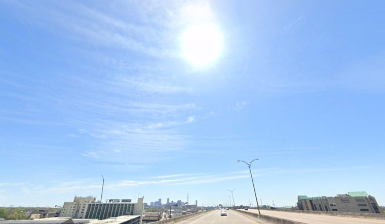
Thursday, July 2, 2026 — New Orleans rolled into the long holiday weekend on the sticky side of summer, waking up to muggy air and mostly clear skies with about 82°F reported at the airport this morning. Heat builds quickly today, with a high near 91°F and a round of scattered showers and thunderstorms expected to bubble up through the afternoon. Any storm that pops could drop a quick, heavy downpour, just enough to snarl commutes and briefly send outdoor plans running for cover.
Afternoon Thunderstorm Threat
Forecasters keep a slight chance of showers and thunderstorms in the picture between 8 a.m. and 9 a.m., then ramp things up to a more persistent but still scattered chance from roughly 9 a.m. through 5 p.m. on Thursday, July 2. These storms are classic summer hit-or-miss action: plenty of neighborhoods stay dry while the unlucky few see a fast burst of heavy rain. New rainfall totals of about a quarter to a half inch are possible wherever a cell parks overhead. With east winds running light around 0 to 10 mph, any storm that does form may linger and briefly lead to street ponding. Forecast details come from the National Weather Service.
Fireworks And Events
For those plotting their holiday Saturday, Go 4th on the River is still set to light up the sky with free fireworks at 9 p.m. on Saturday, July 4, with viewing along the downtown riverfront on both the East and West Banks, according to Go 4th on the River. Organizers are planning daytime activities that will draw early crowds, so showing up ahead of the rush, leaning on public transit, or springing for a river cruise are all solid moves. The one wild card is the sky: spotty storms could disrupt prime viewing, and a few pockets of heavy rain cannot be ruled out.
Holiday Heat And Weekend Outlook
Heat is not taking the holiday off. Temperatures stay hot into the weekend, with highs in the low to mid 90s on Friday and Saturday and a high near 94°F expected on Saturday, July 4. Forecasts hold just a slight chance of morning rain on the holiday itself, followed by the usual scattered afternoon storms. Sunday brings an uptick, with showers and thunderstorms likely after 1 p.m. and continuing into early next week. It is a textbook Gulf Coast summer pattern where daytime heating sparks pop-up storms, more of an on-and-off nuisance than a full-blown washout. Full forecast information is available from the National Weather Service.
Commute, Boaters And Outdoor Tips
If you are heading out, plan for classic New Orleans summer: hot, humid, and a little unpredictable. Keep water and a way to find shade close at hand, and stash a small umbrella or rain jacket for those surprise downpours. Drivers should keep an eye on radar, slow down in localized heavy rain, and allow extra time in case a storm decides to sit over a busy route. Boaters should follow marine updates and be ready for brief gusty winds or even a waterspout near stronger storms. Whatever your riverfront or outdoor plans, a quick check of the latest local forecast before you leave the house will go a long way.


